Mapple
Kitayama Mountains Hiking Map
Kitayama Mountains Hiking Map
Couldn't load pickup availability
- SKU: MAPP_H_KITAYAMA_26
Discover Japan’s most iconic mountains with the 2026 edition of the “Mountains & Highlands Map”, a trusted companion for hikers and outdoor enthusiasts for over 60 years. Covering major mountain ranges, this detailed map ensures safe, enjoyable, and well-planned adventures.
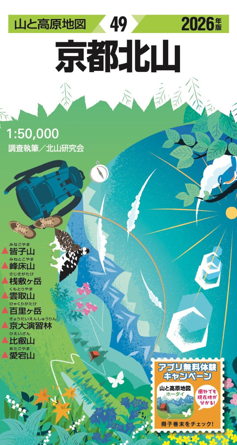
Key Mountains & Areas Covered
- Minako-yama
- Mine-toko-yama
- Sajiki-ga-take
- Kumotori-yama
- Hyakuri-ga-take
- Kyoto University Experimental Forest
- Hiei-san
- Atago-san
Exclusive 2026 Buyer Benefit
Purchase this map and receive a 6-month free access coupon to the “Yama & Kogen Chizu Hodai” app, covering the same areas as your paper map. Combining the comprehensive overview of a physical map with the convenience and GPS functionality of the app makes your hikes safer, easier, and more enjoyable.
Check your purchased product for coupon details.
Why Hikers Love This Map
- Trusted Brand: Over 60 years of experience, including coverage of all “Japan’s 100 Famous Mountains” by Kyūya Fukada. Essential for planning routes and understanding terrain.
- Accurate & Updated: Annual on-site surveys by professional mountaineers ensure up-to-date information on trails, mountain huts, water sources, landmarks, and hazards. Includes magnetic north lines for accurate compass navigation.
- Comprehensive Guidebook: Detailed course times, route explanations, photos, access information, and insightful mountain-area columns to enhance your hiking experience.
- Durable & Weather-Resistant: Printed on tear-resistant, water-resistant paper, so you can use it confidently even in rain or rough weather.
Product Dimensions
- Map (Unfolded): 54.5 × 78.8 cm
- Package: 19.1 × 10.5 × 0.8 cm
Perfect for day hikes, multi-day treks, or as a thoughtful gift for mountain lovers, this map combines tradition, precision, and practicality to make every hiking adventure safe and memorable.
- Type: Folded Map
- Subtype: Hiking
- Language: Japanese
- Publication Date: 2026-02-20
- Scale: 1:50,000
- Regions Covered: Asia, East Asia, Pacific Ocean
- Countries Covered: Japan
- States Covered: Wakayama
- ISBN: 9784398772893
- Folded Size: 4.33" (W) x 7.48" (H)
- Unfolded Size: 29.92" (W) x 20.47" (H)
- Weight: 3 oz