Map Adventures
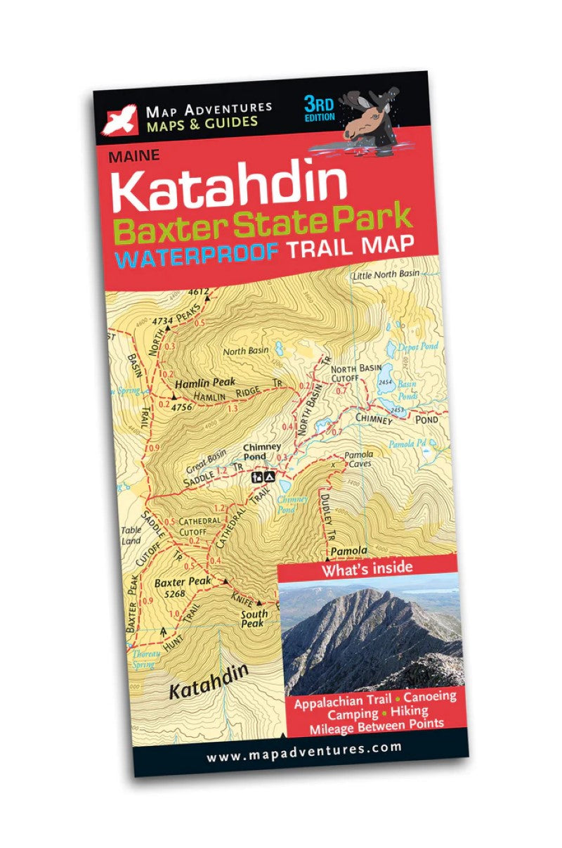
Katahdin - Baxter State Park Waterproof Trail Map
Katahdin - Baxter State Park Waterproof Trail Map
Regular price
$11.95 USD
Regular price
Sale price
$11.95 USD
Unit price
per
Shipping calculated at checkout.
Low stock
Couldn't load pickup availability
- SKU: MADV_KATAHDIN_BAXTER_24
3rd Editon Jaw-dropping beauty and yes, you are likely to see a moose. Let Map Adventures show you why “forever wild” is an understatement when it comes to experiencing Baxter State Park. This beautiful, two-sided, waterproof map shows in great detail the parks 220 miles of hiking trails, highlighting the many lakes, canoeing and camping opportunities also available.
Whether you choose to traverse the Knife Edge, one of the most demanding and ambitious treks in the northeast, seek out an easier trail to explore, or rent a canoe on one of the many quiet lakes, you will experience one of the wildest parts of northern Maine.
Map Features
- Campgrounds
- Backcountry Camp Sites
- Appalachian Trail
- Canoe Rentals
- Mileage between points on hiking trails
- UTM/GIS Grid
- Index of trails
- The entire park on one side (no more flipping the map)
- The other side has content, detail of Katahdin Area
Areas Covered- Baxter State Park
- The Golden Road
- Type: Folded Map
- Subtype: Hiking
- Language: English
- Publication Date: 2024-01-01
- Scale: 1:52,000 / 1:30,000
- Regions Covered: Mid-Atlantic/Northeastern U.S., North America
- Countries Covered: United States
- States Covered: Maine
- ISBN: 9781890060558
- Folded Size: 4" (W) x 9" (H)
- Unfolded Size: 19.5" (W) x 27" (H)
- Weight: 1.7 oz