1
/
of
1
Five Star Maps Inc
Kansas / Missouri State Map
Kansas / Missouri State Map
Regular price
$6.95 USD
Regular price
Sale price
$6.95 USD
Unit price
/
per
Shipping calculated at checkout.
Couldn't load pickup availability
- SKU: FS_KS_MO_24
Map Coverage Area
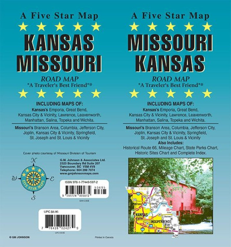
A Five Star Map
KANSAS / MISSOURI, ROAD MAP
“A Traveler’s Best Friend”INCLUDING MAPS OF:
Kansas’s Emporia, Great Bend, Kansas City & Vicinity, Lawrence, Leavenworth, Manhattan, Salina, Topeka and Wichita.
Missouri’s Branson Area, Columbia, Jefferson City, Joplin, Kansas City & Vicinity, Springfield, St. Joseph and St. Louis & VicinityAlso Includes:
Historical Route 66, Mileage Chart, State Parks Chart, Historic Sites Chart and Complete Index.Cover photo courtesy of Missouri Division of Tourism
- Type: Folded Map
- Subtype: Road
- Language: English
- Publication Date: 2024-06-01
- Scale: 1:918,000 / 1:950,000
- Regions Covered: Central U.S., North America
- Countries Covered: United States
- States Covered: Missouri
- ISBN: 9781774495872
- UPC: 776428024279
- Folded Size: 4" (W) x 9" (H)
- Unfolded Size: 39" (W) x 27" (H)
- Weight: 1.2 oz


