1
/
of
1
GM Johnson
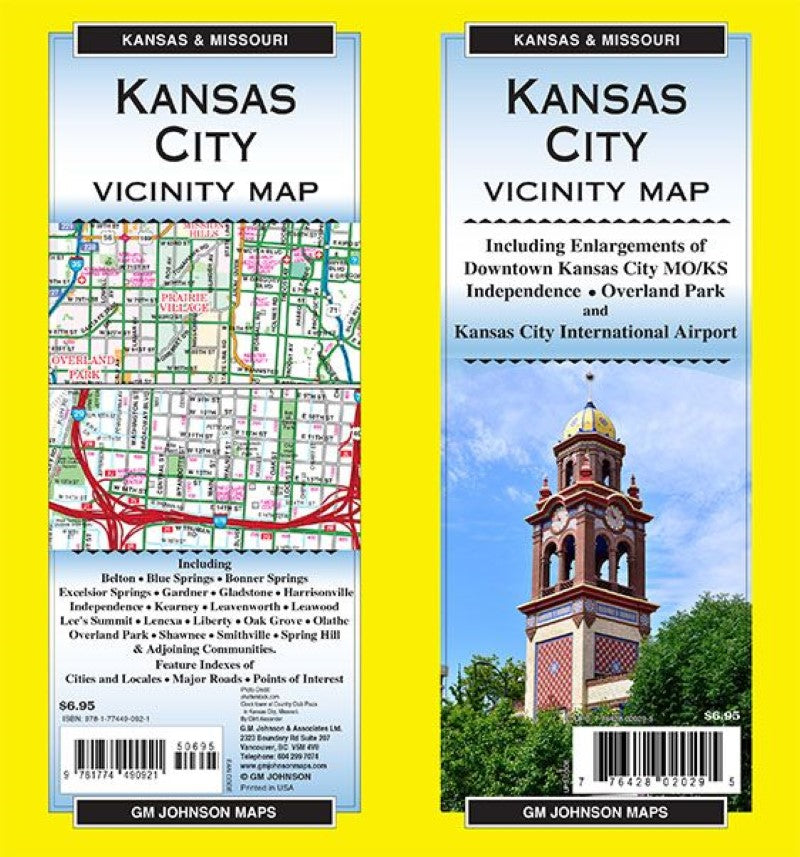
Kansas City & Vicinity, Missouri & Kansas Regional Map
Kansas City & Vicinity, Missouri & Kansas Regional Map
Regular price
$6.95 USD
Regular price
Sale price
$6.95 USD
Unit price
/
per
Shipping calculated at checkout.
Low stock
Couldn't load pickup availability
- SKU: GMJ_KS_VIC_21
Map Coverage Area
Including Enlargements of:
Downtown Kansas City MO/KS, Independence, Overland Park and Kansas City International Airport.Including:
Belton, Blue Springs, Bonner Springs, Excelsior Springs, Gardner, Gladstone, Harrisonville, Independence, Kearney, Leavenworth, Leawood, Lee’s Summit, Lenexa, Liberty, Oak Grove, Olathe, Overland Park, Shawnee, Smithville, Spring Hill & Adjoining Communities.Feature Indexes of: Cities and Locales, Major Roads, Points of Interest
- Type: Folded Map
- Subtype: Road
- Language: English
- Publication Date: 2021-06-01
- Scale: 1:144,000
- Regions Covered: Midwest, North America, Southern U.S.
- Countries Covered: United States
- States Covered: Kansas, Missouri
- ISBN: 9781774490921
- UPC: 776428020295
- Folded Size: 4" (W) x 9" (H)
- Unfolded Size: 19.5" (W) x 27" (H)


