1
/
of
1
Saga Maps
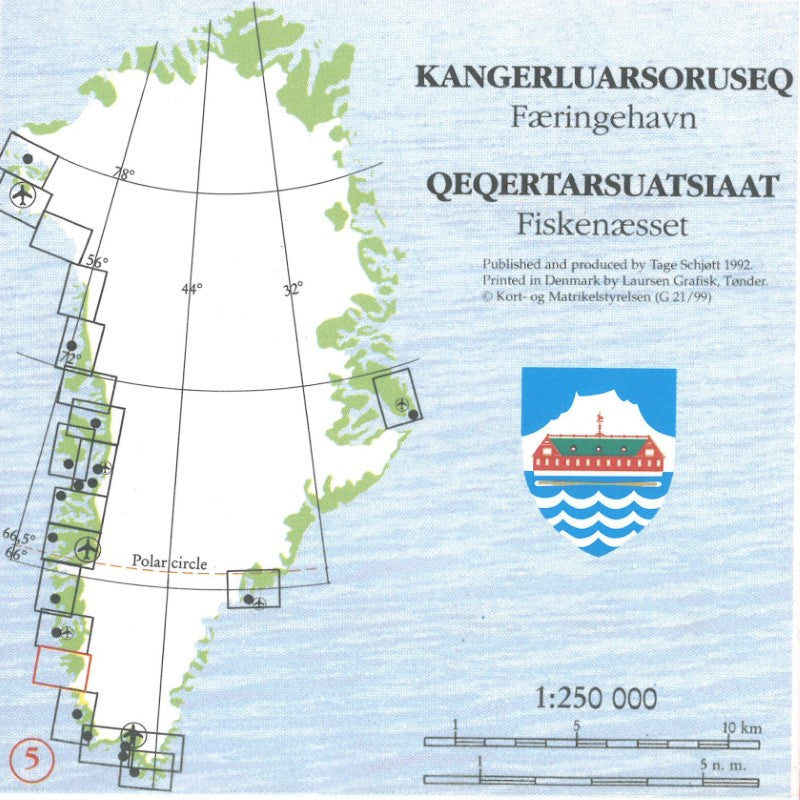
Kangerdluarssoruseq /Færingehavn - Qeqertarsuatsiaat/Fiskenæsset, Red Series Topographic Map #5
Kangerdluarssoruseq /Færingehavn - Qeqertarsuatsiaat/Fiskenæsset, Red Series Topographic Map #5
Regular price
$29.99 USD
Regular price
Sale price
$29.99 USD
Unit price
/
per
Shipping calculated at checkout.
Low stock
Couldn't load pickup availability
- SKU: SAG_KANGER_92
- The Saga Maps red series consists of 23 maps which cover West Greenland up to Thule with an additional map around Aasiaat/Egedesminde and East Greenland areas around Tasiilaq/Angmagssalik and Ittoqqotoormiit/Scoresbysund now with the entire large fjord area included.
- Type: Folded Map
- Subtype: General Topographic
- Language: Danish
- Publication Date: 1992-06-01
- Scale: 1:250,000
- Regions Covered: Europe, North Atlantic Ocean
- Countries Covered: Greenland
- Folded Size: 4.7" (W) x 9.75" (H)
- Unfolded Size: 27.5" (W) x 19.5" (H)
- Weight: 3 oz


