1
/
of
1
Reise Know-How Verlag
Japan Road Map
Japan Road Map
Regular price
$14.95 USD
Regular price
Sale price
$14.95 USD
Unit price
/
per
Shipping calculated at checkout.
Couldn't load pickup availability
- SKU: RKH_JPN_23
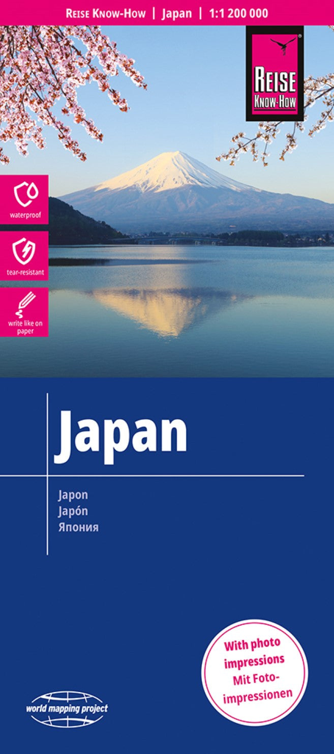
- Japan at 1:1,200,000 on an indexed, waterproof and tear-resistant road map with topographic and tourist information, published by Reise Know-How as part of their highly acclaimed World Mapping Project. The map is double-sided to provide the best balance between a good scale and a convenient size sheet, with a generous overlap; Tokyo and Nagoya are included on both sides. The southern islands including Okinawa are on an inset. Names of the islands and main towns are in both scripts, with names of smaller towns and villages, provinces and geographical features given in the Latin alphabet only. Road and rail networks are easy to see on a clear base which shows the country’s topography by altitude colouring with contours, spot heights, mountain passes, and names of mountain ranges. National parks and protected areas, including maritime parks are marked. Road network includes selected minor local roads and shows intermediate driving distances on motorways and main roads. Railways indicate the high speed Shinkansen line and ferry connections are also shown. Internal administrative boundaries are shown with names of the provinces. Symbols highlight various places of interest: picturesque towns and villages, UNESCO world heritage sites, temples and shrines, special gardens, caves and hot springs, winter sport areas, etc. The map has a latitude/longitude grid at intervals of 1º and an index of localities. Map legend includes English.
- Type: Folded Map
- Subtype: Road
- Language: English, German
- Publication Date: 2023-06-03
- Scale: 1:1,200,000
- Regions Covered: Asia, East Asia, Pacific Ocean
- Countries Covered: Japan
- ISBN: 9783831772919
- Folded Size: 4.53" (W) x 10.24" (H)
- Unfolded Size: 27.56" (W) x 39.76" (H)
- Weight: 2.9 oz


