Greenland Tourism
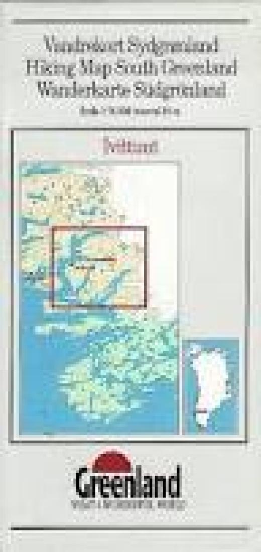
Ivittuut (Ivigtut) hiking map
Ivittuut (Ivigtut) hiking map
Regular price
$24.95 USD
Regular price
Sale price
$24.95 USD
Unit price
per
Shipping calculated at checkout.
Low stock
Couldn't load pickup availability
- SKU: GRE_IVIT_94
- Ivittuut, map no. 4, in a series of waterproof and tear-resistant topographic maps of popular coastal areas of southern and central Greenland. Countours are shown at 25-metre intervals, with additional altitude colouring. The maps show settlements, farms, shepherds' huts, water supply areas, roads and tracks, fords, rivers and streams, etc. Tourist information includes marked or partly marked hiking routes, recommended kayak routes, information centres, hotels, campsites, youth hostels, general stores, places of interest, etc. A grid gives UTM co-ordinates plus latitude in steps of 5' and longitude in 10'. Map legend includes English. On the reverse of selected titles there are notes, in English, with advice on hiking in Greenland, as well as descriptions of the area, including plans of main settlements highlighting important buildings and institutions.
- Type: Folded Map
- Subtype: Hiking
- Language: English
- Publication Date: 1994-06-01
- Scale: 1:75,000
- Regions Covered: Europe, North Atlantic Ocean, Scandinavia
- Countries Covered: Greenland
- ISBN: 9788790677213
- UPC: 9788790000000
- Folded Size: 3.94" (W) x 8.27" (H)
- Unfolded Size: 16.14" (W) x 19.69" (H)
- Weight: 1.3 oz