Freytag & Berndt
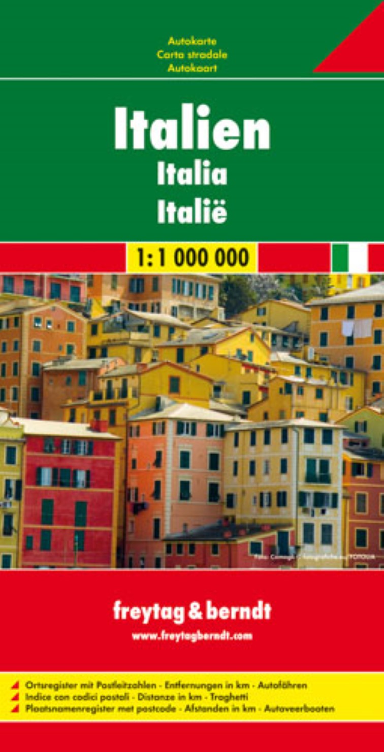
Italy Road Map
Italy Road Map
Regular price
$19.95 USD
Regular price
Sale price
$19.95 USD
Unit price
per
Shipping calculated at checkout.
Couldn't load pickup availability
- SKU: FB_I_11
- Freytag & Berndt’s road map of Italy at 1:1,000,000, designed to present the country’s motorway network and connecting primary and secondary roads, rather than show local roads in detail. Coverage includes most of Slovenia and extends along the eastern Adriatic to Dubrovnik. The map also shows ferry connections between the mainland and the islands, including Corsica and the Croatian coast. Main mountain and hill ranges are names and UNESCO heritage sites are highlighted. The map has latitude and longitude lines at intervals of 1°. Multilingual map legend includes English. The index, showing all localities with their postcodes, is in a separate booklet attached to the map cover.
- Type: Folded Map
- Subtype: Road
- Language: English, French, German, Italian, Spanish
- Publication Date: 2011-03-20
- Scale: 1:100,000
- Regions Covered: Europe, Western Europe
- Countries Covered: Italy
- ISBN: 9783707909586
- MPN: 620
- Folded Size: 5.11" (W) x 10.02" (H)
- Unfolded Size: 49.21" (W) x 38.19" (H)
- Weight: 6 oz