Touring Club Italiano
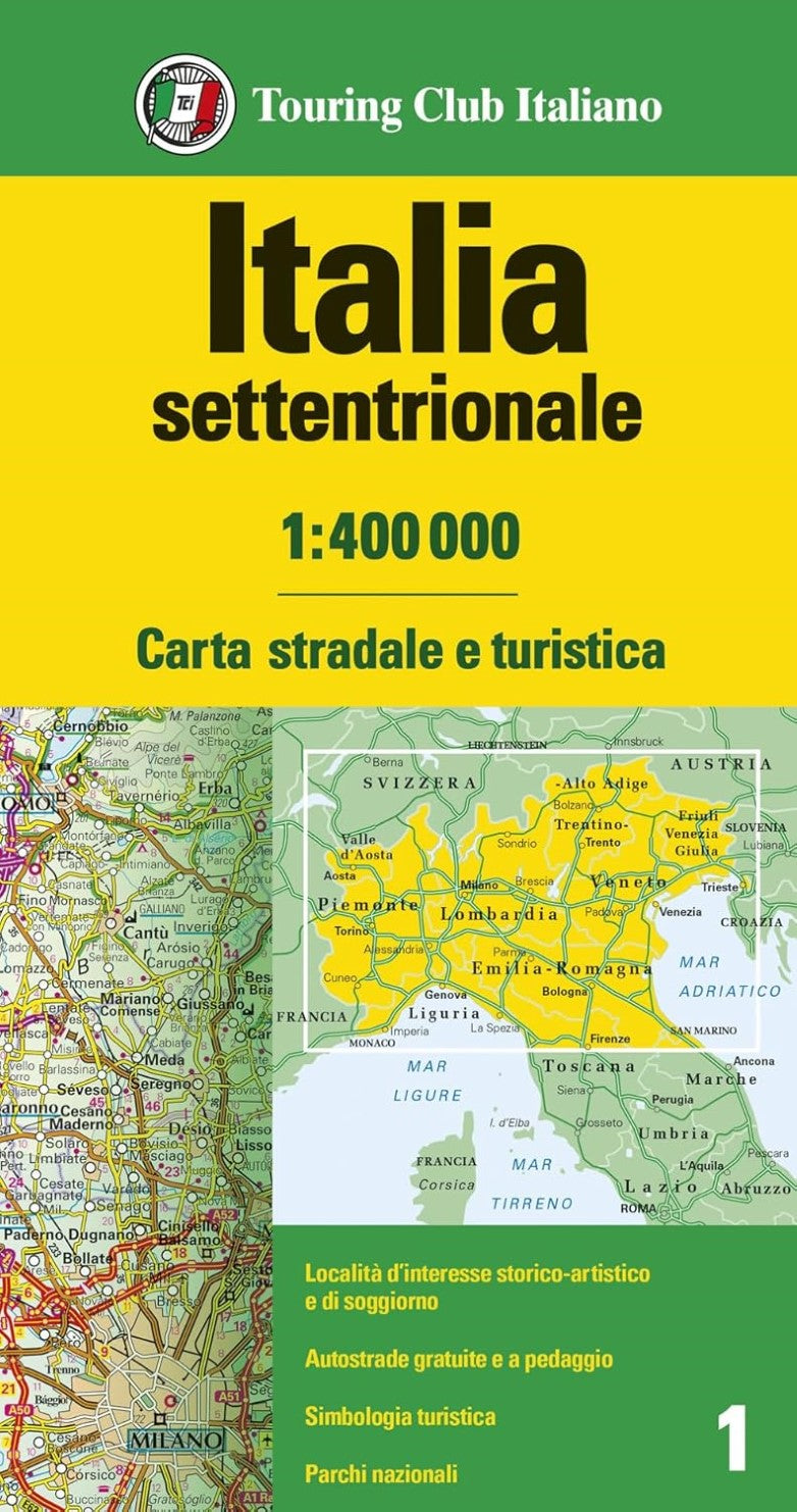
Italia Settentrionale 1:400.000 = Northern Italy and Isands 1:400,000 Road Map
Italia Settentrionale 1:400.000 = Northern Italy and Isands 1:400,000 Road Map
Couldn't load pickup availability
- SKU: TCI_I_N_24
Discover the beauty of Northern Italy with this high-quality touring map from the renowned publisher, Touring Club Italiano. Designed for travelers and adventurers, this durable map is printed on lightweight, waterproof, and tear-resistant plastic paper—perfect for use in any weather.
Part of a curated series covering Italy’s most popular holiday regions, this map offers an incredibly detailed look at the area's topography, featuring vivid altitude coloring, labeled mountain ranges, valleys, and spot heights for key peaks. National parks and scenic routes are clearly highlighted for easy travel planning.
More than just roads and towns, this map grades locations by cultural, historical, and natural significance—including towns, villages, resorts, and points of interest like churches, castles, archaeological sites, caves, and waterfalls. Handy icons help you quickly identify these must-see attractions.
Ideal for road trips and outdoor exploration, the map shows:
- Road and rail networks
- Ferry routes
- Regional and provincial boundaries
- Select accommodation options including hotels, refuges, tourist villages, and campsites
Please note: this map does not include geographical coordinates or an index. Legend is provided in English for international travelers.
Perfect for planning your journey or navigating on the go, this map is your essential companion to Northern Italy.
- Type: Folded Map
- Subtype: Tourist
- Language: English, Italian
- Publication Date: 2024-01-01
- Scale: 1:400,000
- Regions Covered: Alps, Europe, Western Europe
- Countries Covered: Italy
- ISBN: 9788836581412
- Folded Size: 5.12" (W) x 9.45" (H)
- Unfolded Size: 48.62" (W) x 37.01" (H)
- Weight: 4 oz