Freytag & Berndt
Irland = Ireland
Irland = Ireland
Regular price
$14.95 USD
Regular price
Sale price
$14.95 USD
Unit price
per
Shipping calculated at checkout.
Low stock
Couldn't load pickup availability
- SKU: FB_IRE_15
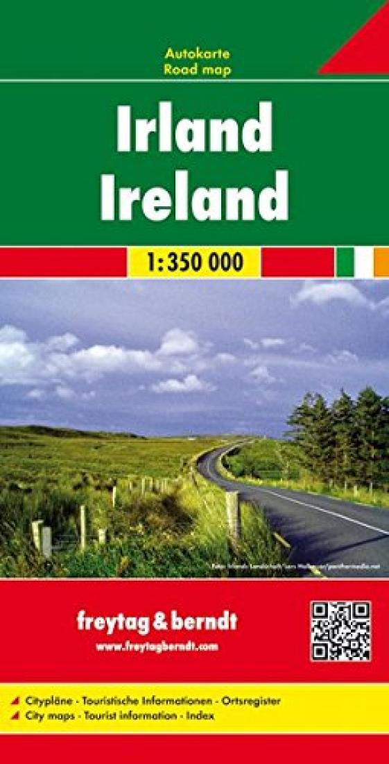
- Explore Ireland with this Freytag & Berndt double-sided road map. The best way to plan your trip, prepare your itinerary, and to travel independently in this country. As with all Freytag & Berndt maps the cartography is clear and detailed with the topography shown by relief shading with plenty of spot heights. The map includes a localities index and inset maps of Dublin, Belfast, Galway, Limerick and Waterford in a booklet attached to the cover. Major city names are written in English and in Gaelic. Tourist information and places of interest are clearly marked by a range of icons, including: airports monasteries and churches manor-houses, castles and ruins camping sites lighthouses marinas monuments golf-courses national parks Distances between points are shown as well as indications of steep gradients, all distances are in kilometres. The legend is in English, Gaelic, Spanish, German, Dutch, Italian, French, Czech, Slovak, and Hungarian.
- Type: Folded Map
- Subtype: Travel
- Language: English
- Publication Date: 2015-06-01
- Scale: 1:350,000
- Regions Covered: British Isles, Europe
- Countries Covered: Ireland
- ISBN: 9783707905885
- Folded Size: 5.12" (W) x 10.24" (H)
- Unfolded Size: 31.5" (W) x 42.91" (H)
- Weight: 4.9 oz