Lonely Planet Publications
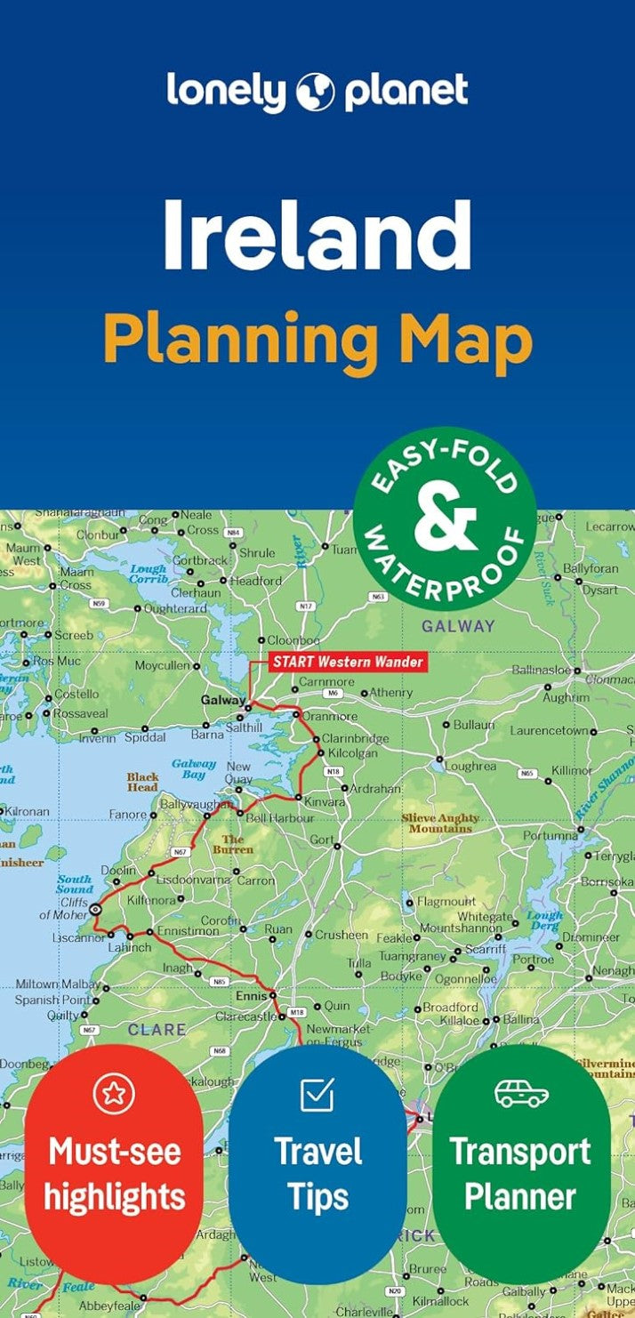
Ireland Planning Map
Ireland Planning Map
Couldn't load pickup availability
- SKU: LP_IRELAND_24
Durable and waterproof, with a handy slipcase and an easy-fold format, Lonely Planet's Ireland Planning Map is your essential navigation tool. This full-colour map features accompanying images and information about top attractions, itinerary suggestions, a transport guide, themed lists and practical travel tips.
- Durable and waterproof
- Easy-fold format and convenient size
- Handy slipcase
- Full colour and easy to use
- Before-you-go info
- Beautiful imagery
- Tailored itineraries
- Can't-miss regional highlights
- Detailed town index
- Transport planner
- Themed lists
Covers: Dublin, County Wicklow, Enniskerry, Wicklow Mountains, Glendalough, County Meath, Brú na Bóinne, Cork, Ring of Kerry, Dingle, Cliffs of Moher, The Burren, Adare, Kilkenny, Rock of Cashel, Waterford City, Connemara, Galway City, Ennis, Killarney, Aran Islands, Donegal, Belfast, Causeway Coast, Derry City.
About Lonely Planet: Lonely Planet is a leading travel media company, providing both inspiring and trustworthy information for every kind of traveller since 1973. Over the past four decades, we've printed over 145 million guidebooks and phrasebooks for 120 languages, and grown a dedicated, passionate global community of travellers. You'll also find our content online, and in mobile apps, videos, 14 languages, armchair and lifestyle books, ebooks, and more, enabling you to explore every day.
- Type: Folded Map
- Subtype: Travel
- Language: English
- Publication Date: 2024-06-01
- Regions Covered: British Isles, Europe
- Countries Covered: Ireland
- ISBN: 9781787015814
- Folded Size: 3.94" (W) x 7.87" (H)
- Unfolded Size: N/A
- Weight: 3 oz