Rand McNally
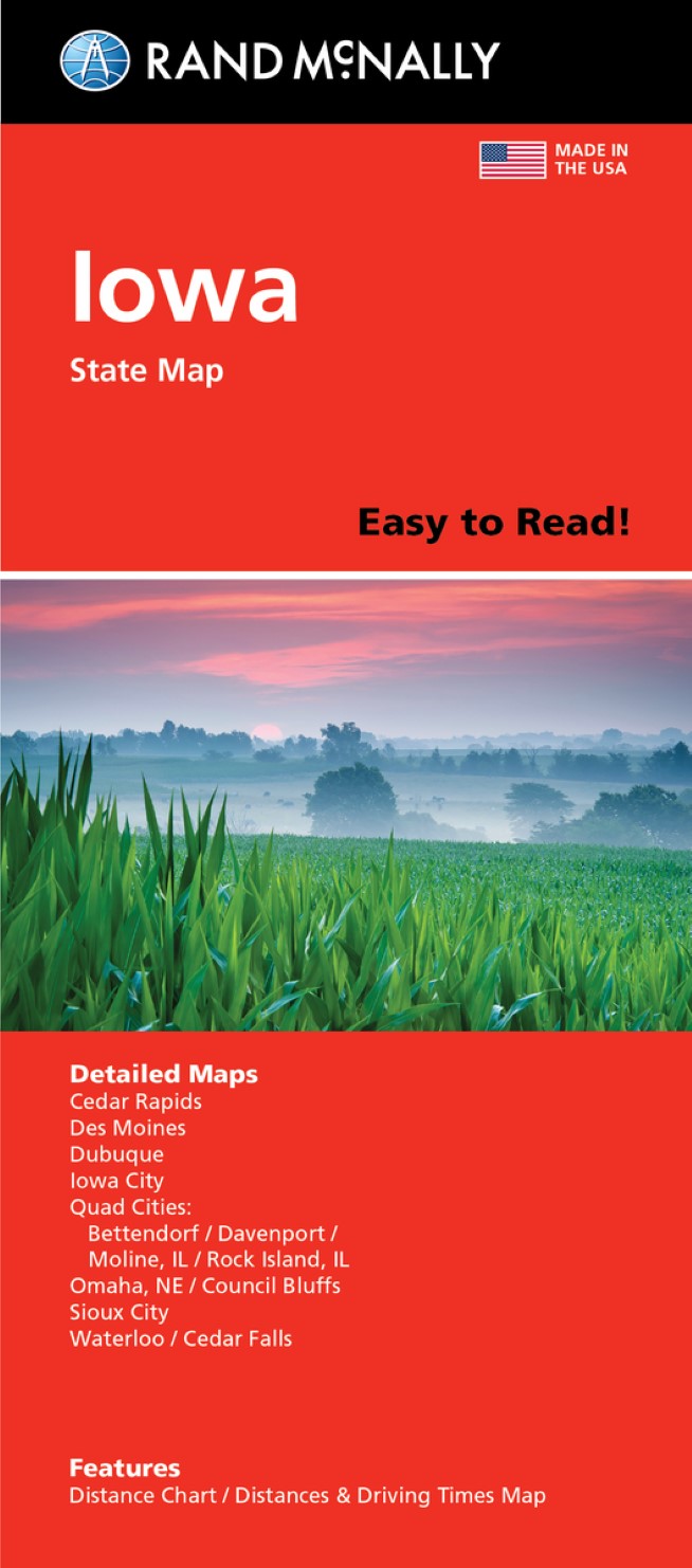
Iowa : Easy to Read : Folded Map
Iowa : Easy to Read : Folded Map
Regular price
$7.99 USD
Regular price
Sale price
$7.99 USD
Unit price
per
Shipping calculated at checkout.
Couldn't load pickup availability
- SKU: RM_EASY_IA_21
- Rand McNally's Easy To Read State Folded Map is a must-have for anyone traveling in and around Iowa, offering unbeatable accuracy and reliability at a great price. Our trusted cartography shows all Interstate, U.S., state, and county highways, along with clearly indicated parks, points of interest, airports, county boundaries, and streets. Regularly updated, full-color maps. 47% larger map with a bigger type size than the Rand McNally Folded Map. Clearly labeled Interstate, U.S., state, and county highways. Indications of parks, points of interest, airports, county boundaries, and more. Mileage and driving times map. Detailed index. Convenient folded size. Detailed maps of: Cedar Rapids, Council Bluffs/Omaha, NE; Des Moines, Dubuque, Iowa City, Bettendorf/Davenport/Rock Island, IL/Moline, IL; Waterloo, Cedar Falls.
- Type: Folded Map
- Subtype: Road
- Language: English
- Publication Date: 2021-01-30
- Scale: 1:525,888
- Regions Covered: Midwest, North America
- Countries Covered: United States
- States Covered: Iowa
- ISBN: 9780528025792
- UPC: 070609025797
- Folded Size: 4.33" (W) x 9.45" (H)
- Unfolded Size: 27.95" (W) x 40.16" (H)
- Weight: 2 oz