Freytag & Berndt
Innsbruck, hiking, bike and leisure map 1:50,000 WK 241
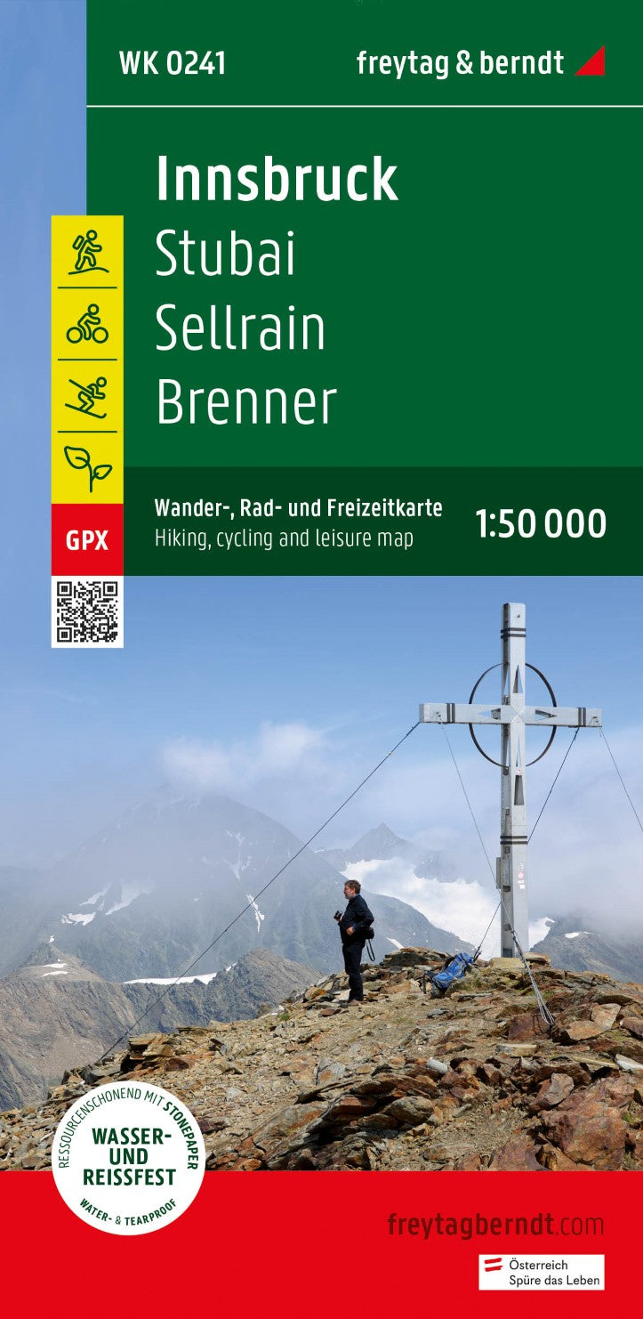
Innsbruck, hiking, bike and leisure map 1:50,000 WK 241
Regular price
$22.95 USD
Regular price
Sale price
$22.95 USD
Unit price
per
Shipping calculated at checkout.
Couldn't load pickup availability
- SKU: FB_WK_50_241_23
- Freytag & Berndt hiking maps are ideal companions in hiking, mountaineering and on ski tours thanks to the detailed digital cartography and the exact standards. The hiking map "Innsbruck - Stubai - Sellrain - Brenner 1: 50,000" is regularly revised and contains updated information about hiking trails, bike and mountain bike routes, huts, natural monuments, cultural sights and leisure facilities. The enclosed information booklet contains a selection of the best hiking trails, bike paths and mountain bike routes as well as a brief description of the individual communities with their leisure activities. (Language: German) leisure information, hiking and long-distance hiking trails, mountain bike and bike tours, local register with postcodes, GPS-suitable, via ferrata, referee, cross-country route, Nordic walking route; Region: Innsbruck, Stubaital, Stubaier Alpen, Wipptal, Brenner, North Tyrol, Tyrol; Special hiking themes: Central Alpine path, Jakobsweg, Adlerweg, Via Alpina, Via Venezia Alpina, Sellrainer Hüttenrunde, Rumer Almenwandung, Patscherkofel-Zirbenweg, Naviser Kreuzjöchl; Special cycling and mountain bike tours: Bike Trail Tirol, Innal-Radweg (Inntal-Radweg), Aldranser Alm-Route, Maria Waldrast-Route, Naviser Tour, Neustifter Talrunde, Fliesserwaldweg; Environmental maps: WK 151, WK 152, WK 251, WK 321, WK 322, WK 352;
- Type: Folded Map
- Subtype: Hiking
- Language: English, French, German
- Publication Date: 2017-11-30
- Scale: 1:50000
- Regions Covered: Central Europe, Europe
- Countries Covered: Austria
- ISBN: 9783707920529
- MPN: WK 241-23
- Folded Size: 3.93" (W) x 8.06" (H)
- Unfolded Size: 3.93" (W) x 8.06" (H)
- Weight: 4.94 oz