1
/
of
1
GM Johnson
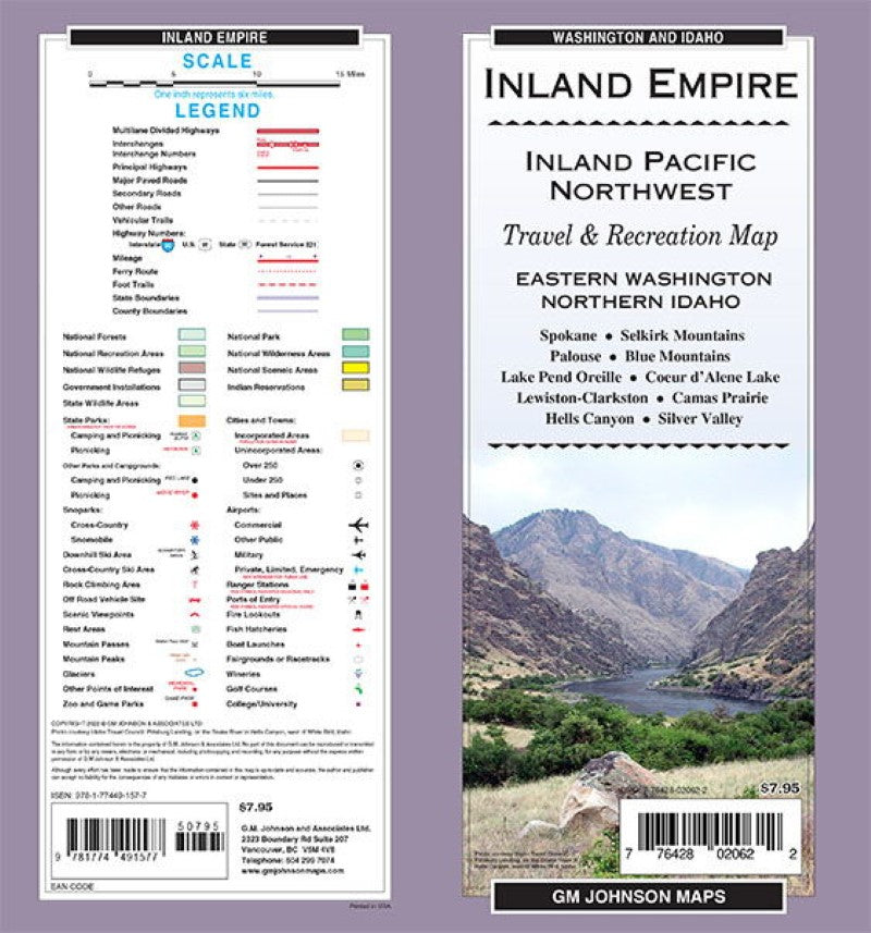
Inland Empire / Eastern WA / Northern ID, Washington Regional Map
Inland Empire / Eastern WA / Northern ID, Washington Regional Map
Regular price
$7.95 USD
Regular price
Sale price
$7.95 USD
Unit price
/
per
Shipping calculated at checkout.
Couldn't load pickup availability
- SKU: GMJ_INLAND_EM_22
- Folded map of inland Pacific Northwest. One side covers Valley County to Clearwater County to Columbia County with index. Reverse covers Clearwater National Forest to Adams County up to Colville National Forest, with index.
- Type: Folded Map
- Subtype: Road
- Language: English
- Publication Date: 2022-06-01
- Scale: 1:380,160
- Regions Covered: North America, North-central U.S./Great Plains
- Countries Covered: United States
- States Covered: Idaho, Washington
- ISBN: 9781774491577
- UPC: 776428020622
- Folded Size: 4" (W) x 9" (H)
- Unfolded Size: 27" (W) x 39" (H)
- Weight: 2.2 oz


