Nelles Verlag GmbH
Indonesia: Kailmantan, East Malaysia, & Brunei Travel Map
Indonesia: Kailmantan, East Malaysia, & Brunei Travel Map
Regular price
$13.95 USD
Regular price
Sale price
$13.95 USD
Unit price
per
Shipping calculated at checkout.
Low stock
Couldn't load pickup availability
- SKU: NEL_INDON_11
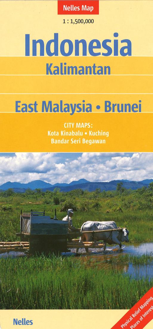
- One of six maps in a series covering Indonesia, this is a folded road map of Kalimantan, East Malaysia and Brunei, showing all major and many minor roads, cities and towns, at a scale of 1:1 500 000. The map shows places of interest, ancient sites, beaches, national parks, airports, railways, mountain peaks, and road mileages. The map includes insets showing Bandar Seri Begawan at 1:17 600, Kota Kinabalu at 1:17 600 and Kuching at 1:15 000. The legend is in English, German, and French. For over 20 years Nelles maps have been renowned throughout the world for their quality, faithfulness to detail and up-to-dateness. So that streets, ferry links, railway lines, etc. are always up to date, Nelles are continuously upgrading their maps - with the help of their international team of correspondents. Roads are provided with an exact kilometerage. Sights are highlighted extra clearly so that you don't miss any tourist attractions. A good map must be hard-wearing and allow itself to be folded up simply and quickly. Nelles Maps are a handy pocket size with the reliable, practical concertina fold. In addition they use an extra high-quality specialty paper resulting in considerably increased fold strength.
- Type: Folded Map
- Subtype: Travel
- Language: English
- Publication Date: 2011-01-01
- Scale: 1:1,500,000
- Regions Covered: Asia, Oceania, Southeast Asia
- Countries Covered: Indonesia
- ISBN: 9783865740441
- Folded Size: 5" (W) x 10" (H)
- Unfolded Size: 19.5" (W) x 36" (H)
- Weight: 2.1 oz