1
/
of
1
GM Johnson
Indiana : Kittanning : city street map
Indiana : Kittanning : city street map
Regular price
$5.95 USD
Regular price
Sale price
$5.95 USD
Unit price
/
per
Shipping calculated at checkout.
Low stock
Couldn't load pickup availability
- SKU: GMJ_INDIAN_PA_11
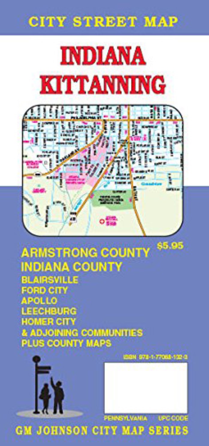
- Folded street map of Indiana County and Kittanning, PA, with surrounding area. One side covers Indiana County with insets of Kittanning/Ford City and Blairsville. Reverse covers Armstrong/Indiana County with index and insets of Dayton, Freeport, Plumville, Rural Valley, and Apollo/North Apollo.
- Type: Folded Map
- Subtype: Road
- Language: English
- Publication Date: 2007-06-01
- Scale: 1:32,000
- Regions Covered: Mid-Atlantic/Northeastern U.S., North America
- Countries Covered: United States
- States Covered: Pennsylvania
- ISBN: 9781770681323
- Folded Size: 4.33" (W) x 9.06" (H)
- Unfolded Size: 39.17" (W) x 26.97" (H)
- Weight: 1.8 oz


