Gem Trek
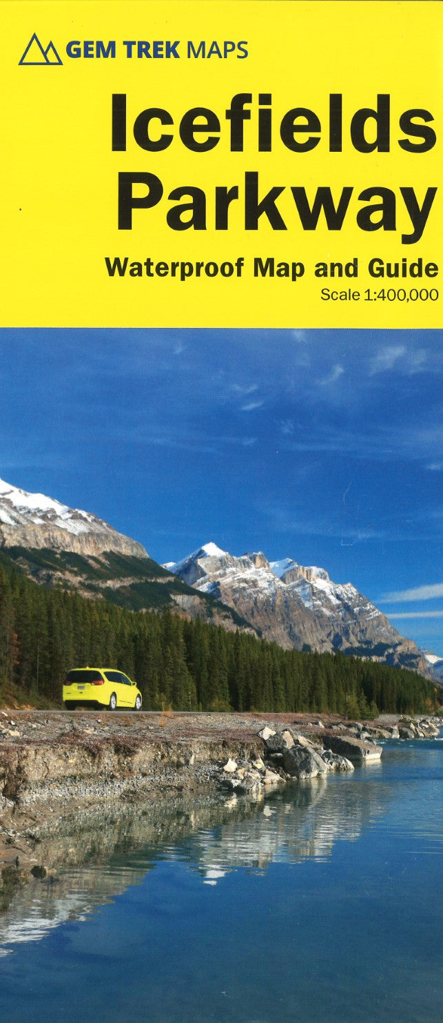
Icefields Parkway Map Waterproof Map and Guide
Icefields Parkway Map Waterproof Map and Guide
Couldn't load pickup availability
- SKU: GEM_ICEFIELDS_25
Whether you have a day or a week to spend exploring the sights along the spectacular Icefields Parkway highway, Gem Trek's ICEFIELDS PAKRWAY MAP, a combination map and guide, will help you make the most of your time. Like our much-loved hiking maps, our Icefields Parkway map features detailed cartography and is printed on waterproof and tear-resistant paper.
The Icefields Parkway Map shows all viewpoints, picnic areas, trailheads, campgrounds, hostels, lodges and other services along the Icefields Parkway, while the descriptions in the guide point you to the best of these - the best viewpoints of mountains and lakes, the most interesting points of interest and exhibits, and the best bets for spotting wildlife such as moose, bighorn sheep and mountain goats.
Also included are short descriptions of the ten best walks and day hikes along the Icefields Parkway—from the short stroll to Peyto Lake Viewpoint to the rewarding hike through alpine meadows to Helen Lake.
To make it easier to plan your day, we've also provided information about campgrounds, lodges, visitor centres and other key services along the Icefields Parkway. A mileage chart, area map and elevation profile complete the map.
Icefields Parkway Map Coverage
The Icefields Parkway Map covers the entire length of the Icefields Parkway, a 232-kilometre (144-mile) route between the village of Lake Louise and the town of Jasper. The route traverses some of the world’s most spectacular mountain scenery and is a highlight of any trip to the Canadian Rockies.For ease of use, we have divided the Icefields Parkway into two sections: on one side of the map is the southern section between Lake Louise and the Columbia Icefield, while the reverse side highlights the section between the Columbia Icefield and the town of Jasper.
Icefields Parkway Map Features
The Icefields Parkway Map includes:contour lines at 25-metre (80-foot) intervals
relief shading to better show the topography
full colour on both sides
hiking trails
hydrology – rivers, rapids, glaciers, and waterfalls
mountain names and all available mountain elevations
all campgrounds
points of interest and attractions
picnic areas
highway viewpoints- Type: Folded Map
- Subtype: Park
- Language: English
- Publication Date: 2025-05-01
- Scale: 1:400,000
- Regions Covered: North America
- Countries Covered: Canada
- States Covered: Alberta
- ISBN: 9781990161186
- MPN: 26783
- Folded Size: 5" (W) x 10" (H)
- Unfolded Size: 18" (W) x 20" (H)
- Weight: 2.3 oz