Mapple
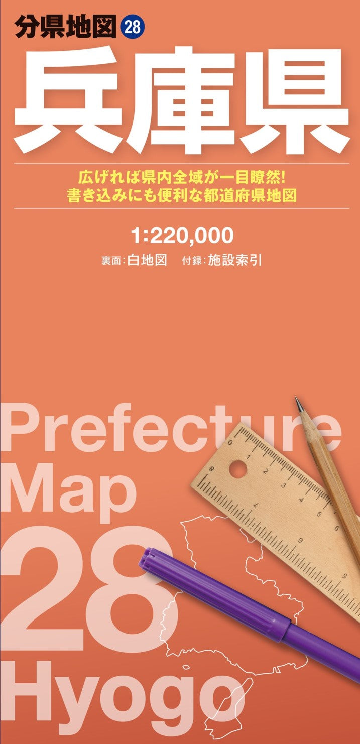
Hyogo Prefecture Map
Hyogo Prefecture Map
Couldn't load pickup availability
- SKU: MAPP_P_28_24
Discover the full expanse of Hyogo Prefecture with this large-format fold-out map. Part of the popular Prefectural Map Series, this detailed map lets you view the entire prefecture at a glance—something that’s difficult to achieve with smartphones or online maps. With its dual-sided design, you can mark routes, add notes, or place stickers, making it perfect for both practical planning and creative customization.
Product Overview
Main Map
- Entire Hyogo Prefecture
- Scale: 1:220,000
Blank Map (Reverse Side)
- Simplified white map optimized for note-taking, planning routes, or personal annotations
- Ideal for highlighting destinations, marking travel plans, or creating a custom map
Included Reference Booklet
Find locations quickly with a detailed index covering:
- Major natural landmarks
- Tourist attractions
- Airports
- Roadside stations (Michi-no-Eki)
- Municipal offices and public facilities
Key Features
Full-Region View
The large 62 × 88 cm sheet allows you to see the whole prefecture in one glance, helping you understand location relationships, distances, and travel routes clearly.
Clear and Readable Cartography
- Distinctive line thicknesses, colors, and text sizes enhance readability
- Contour-based color gradients make elevations easy to identify
- Roads, railways, administrative boundaries, and terrain are presented for quick reference
Customizable Blank Map
The reverse side features a clean, writable map for:
- Travel planning and journaling
- Route mapping and distribution planning
- Educational projects
- Disaster-preparedness and emergency maps
Compact & Portable
When folded, the map measures just 10 × 21 cm, making it easy to carry in a backpack, briefcase, or bag.
Ideal Uses
- Business & commercial: distribution mapping, store location planning, market analysis
- Travel & recreation: trip planning, route mapping, and recording visited destinations
- Education & research: classroom projects, geography studies
- Emergency preparedness: disaster maps and hazard planning
Product Dimensions
- Map (Unfolded): 62 × 88 cm
- Package: 10.3 × 21.3 × 0.85 cm
About the Series
The Prefectural Map Series provides an unparalleled way to view, understand, and interact with each Japanese prefecture. Combining a detailed reference map with a writable blank side, it’s perfect for travelers, students, businesses, and map enthusiasts alike.
- Type: Folded Map
- Subtype: Road
- Language: Japanese
- Publication Date: 2024-12-13
- Scale: 1:220,000
- Regions Covered: Asia, East Asia, Pacific Ocean
- Countries Covered: Japan
- States Covered: Hyōgo
- ISBN: 9784398764782
- Folded Size: 4" (W) x 8" (H)
- Unfolded Size: 21.45" (W) x 31" (H)
- Weight: 3.5 oz