United States Forest Service
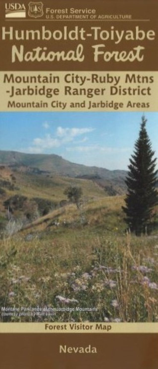
Humboldt-Toiyabe National Forest - Mountain City and Jarbidge Ranger Districts, Nevada Forest Visitor Map
Humboldt-Toiyabe National Forest - Mountain City and Jarbidge Ranger Districts, Nevada Forest Visitor Map
Couldn't load pickup availability
- SKU: USFS_HUMB_MOUNT_CITY_25
Discover one of Nevada’s most remote and breathtaking landscapes with the official Forest Visitor Map for the Mountain City and Jarbidge Ranger Districts of the Humboldt–Toiyabe National Forest. Designed and published by the United States Forest Service, this detailed, full-color map is an essential companion for explorers, campers, anglers, off-highway vehicle travelers, and anyone seeking adventure in the rugged high desert and alpine canyons of northeastern Nevada.
Key Features
Comprehensive Trail & Road Details: Clearly marked motorized and non-motorized routes, hiking trails, forest roads, and backcountry access points.
Topographic Accuracy: Includes contour lines, elevation details, and terrain shading to help you navigate with confidence.
Recreation Information: Find campgrounds, picnic areas, fishing spots, scenic viewpoints, wildlife viewing opportunities, and developed recreation sites.
Land Ownership Boundaries: Easily distinguish between Forest Service land, private property, BLM areas, and wilderness boundaries.
Water Features & Natural Landmarks: Rivers, streams, reservoirs, mountain peaks, and other geographic highlights clearly labeled.
- Type: Folded Map
- Subtype: Park
- Language: English
- Publication Date: 2025-06-01
- Scale: 1:126,720
- Regions Covered: North America, Western U.S.
- Countries Covered: United States
- States Covered: Nevada
- ISBN: 9781628113211
- MPN: https://store.usgs.gov/product/208889
- Folded Size: 4" (W) x 9" (H)
- Unfolded Size: 36" (W) x 28" (H)