Rand McNally
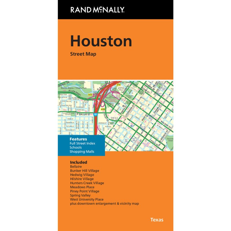
Houston, Texas, Street Map
Houston, Texas, Street Map
Couldn't load pickup availability
- SKU: RM_HOUST_25
Rand McNally's folded map for Houston is a must-have for anyone traveling in and around this part of Texas, offering unbeatable accuracy and reliability at a great price. Our trusted cartography shows all Interstate, U.S., state, and county highways, along with clearly indicated parks, points of interest, airports, county boundaries, and streets. The easy-to-use legend and detailed index make for quick and easy location of destinations. You'll see why Rand McNally folded maps have been the trusted standard for years.
- Regularly updated
- Full-color maps
- Clearly labeled Interstate, U.S., state, and county highways
- Indications of parks, points of interest, airports, county boundaries, schools, shopping malls, downtown & vicinity maps
- Easy-to-use legend
- Detailed & full street index
- Convenient folded size
- Copyright 2025
Coverage Area
Included: Bellaire, Bunker Hill Village, Hedwig Village, Hillshire Village, Hunters Creek Village, Meadows Place, Piney Point Village, Spring Valley, West University Place plus downtown enlargement & vicinity map- Type: Folded Map
- Subtype: City Maps
- Language: English
- Publication Date: 2025-09-01
- Scale: 1:47,500
- Regions Covered: North America, Southern U.S.
- Countries Covered: United States
- States Covered: Texas
- ISBN: 9780528028557
- UPC: 070609028552
- Folded Size: 4.33" (W) x 9.06" (H)
- Unfolded Size: 48.03" (W) x 36.22" (H)
- Weight: 2.9 oz