National Geographic Maps
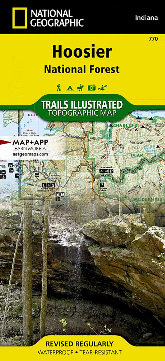
Hoosier National Forest : Indiana, USA
Hoosier National Forest : Indiana, USA
Regular price
$14.95 USD
Regular price
Sale price
$14.95 USD
Unit price
per
Shipping calculated at checkout.
Couldn't load pickup availability
- SKU: TI_HOOSIER_20
- Waterproof, tear-resistant, topographic hiking map of Hoosier Nat'l Forest, Indiana. Coverage includes Patoka Lake State Reservoir, Harrison Crawford State Forest, Ohio River, Yellowbank State Wildlife Management Area, Brown County State Park, Martin State Forest, insets of Two Lakes and German Ridge. Towns include Tell City, Bloomington, Mitchell, Paoli, Orleans, French Lick. Includes UTM grids for use with your GPS unit.
- Type: Folded Map
- Subtype: Park
- Language: English
- Publication Date: 2020-06-01
- Scale: 1:70,000
- Regions Covered: Midwest, North America
- Countries Covered: United States
- States Covered: Indiana
- ISBN: 9781566954211
- MPN: TI00000770
- Folded Size: 4.33" (W) x 9.45" (H)
- Unfolded Size: 37.01" (W) x 24.8" (H)
- Weight: 3.2 oz