1
/
of
1
PublicPress DE
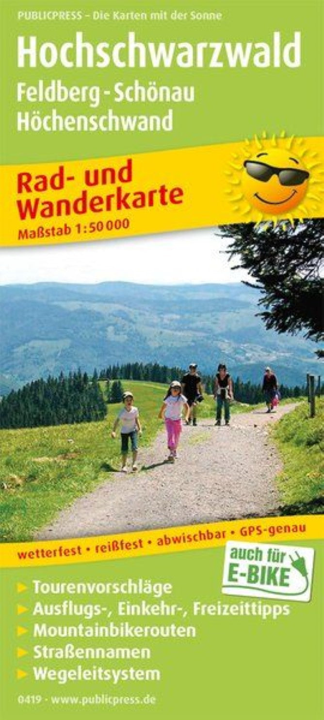
Hochschwarzwald, Feldberg - Schönau - Höchenschwand = Hochschwarzwald, Feldberg - Schönau - Höchenschwand
Hochschwarzwald, Feldberg - Schönau - Höchenschwand = Hochschwarzwald, Feldberg - Schönau - Höchenschwand
Regular price
$14.95 USD
Regular price
Sale price
$14.95 USD
Unit price
/
per
Shipping calculated at checkout.
Low stock
Couldn't load pickup availability
- SKU: PUB_HC_419_HOCH_18
- The many marked hiking, bike and mountain bike routes show it: The Hochschwarzwald with its highest elevation, the Feldberg (1,308 m above sea level), is a paradise for active vacationers. Steep climbs are rewarded with great views. Condition should v. a. Bring the mountain bikers, as they have to overcome 10,000 meters of altitude on the 450 km long Schwarwald-Bike-Crossing tour. You can find out in the infote section which recovery and accommodation options have to offer places such as Todtmoos, Titisee-Neustadt or St. Blasien.
- Type: Folded Map
- Subtype: Outdoor Recreation Maps
- Language: German
- Publication Date: 2017-08-12
- Scale: 1:50,000
- Regions Covered: Central Europe, Europe
- Countries Covered: Germany
- ISBN: 9783747304198
- MPN: PP 0419
- Folded Size: 3.54" (W) x 7.86" (H)
- Unfolded Size: 35.4" (W) x 23.58" (H)
- Weight: 2.12 oz


