1
/
of
1
International Travel Maps
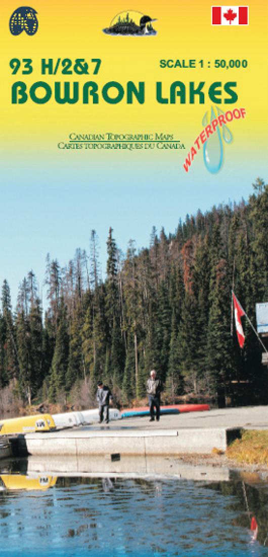
Hiking map of the Bowron Lakes Park (British Columbia)
Hiking map of the Bowron Lakes Park (British Columbia)
Regular price
$11.95 USD
Regular price
Sale price
$11.95 USD
Unit price
/
per
Shipping calculated at checkout.
Low stock
Couldn't load pickup availability
- SKU: ITM_BOWRON_8
- This topographic map covers the Bowron Lake Provincial Park in the Cariboo Mountains in northern BC. It is double sided with LANEZI and ISAAK LAKES (093H02/07) on one side, and Indianpoint lake and the spectacles Lakes (093H03/H06) on the other side. You can admire the landscape of 12 lakes in this area and plan your canoe circuit along the waters. The map features the mountains range, roads as long as the multiple trails available in the mountain (Hiking, horseback riding,canoeing,skiing).
- Type: Folded Map
- Subtype: Travel
- Language: English
- Publication Date: 2008-06-01
- Scale: 1:50,000
- Regions Covered: North America
- Countries Covered: Canada
- States Covered: British Columbia
- ISBN: 9781553418511
- Folded Size: 4" (W) x 9.5" (H)
- Unfolded Size: 39" (W) x 27" (H)
- Weight: 2.9 oz


