Kingfisher Maps, Inc.
High Rock & Tuckertown Lakes Waterproof Map
High Rock & Tuckertown Lakes Waterproof Map
Regular price
$13.99 USD
Regular price
Sale price
$13.99 USD
Unit price
per
Shipping calculated at checkout.
Couldn't load pickup availability
- SKU: KGF_HIGH_TUCK_NC_
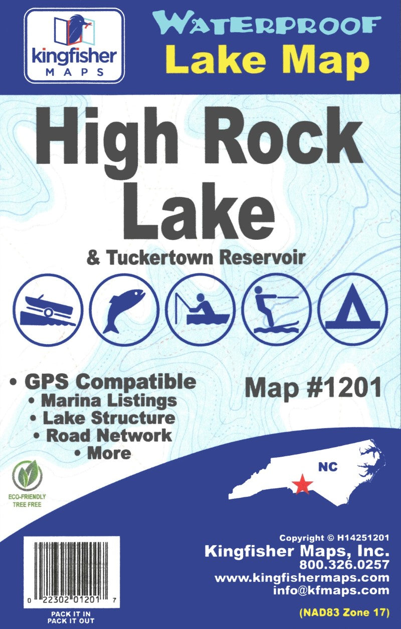
Waterproof lake map of High Rock and Tuckertown Lakes, NC showing access areas, facilities, water hazards, and water depths at 10-foot contour intervals
24″x36″ One-sided Waterproof and Tear Resistant Map!GPS Compatible, Marina Listings, Lake Structure, Road Network and More.=
10′ Contour Intervals for High Rock Lake & Tuckertown Reservoir
- Type: Folded Map
- Subtype: Fishing
- Language: English
- Publication Date: 2025-08-20
- Scale: 1:36,000
- Regions Covered: North America, Southern U.S.
- Countries Covered: United States
- States Covered: North Carolina
- UPC: 022302012017
- MPN: 1201
- Folded Size: 6.3" (W) x 9.45" (H)
- Unfolded Size: 38.19" (W) x 25.2" (H)
- Weight: 3.7 oz