1
/
of
1
Institut Geographique National
Haut-Jura, Parc Naturel Regional Culture
Haut-Jura, Parc Naturel Regional Culture
Regular price
$14.95 USD
Regular price
Sale price
$14.95 USD
Unit price
/
per
Shipping calculated at checkout.
Low stock
Couldn't load pickup availability
- SKU: IGN_CE_JURA_
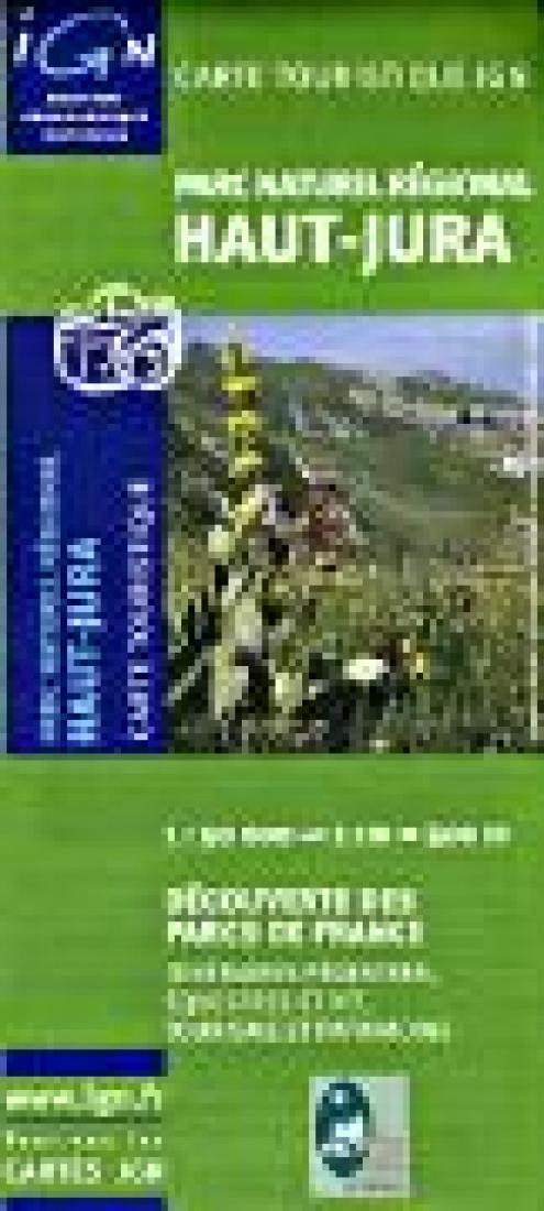
- A large double-sided topographic map covering the entire park, with extensive hiking trails, including the GTJ - Grand Traversée du Jura, bicycling trails, equestrian trails and much more. The map has 20m contour intervals, shaded relief, and spot heights. Special protected areas within the park are marked. Symbols show accommodations from hotels to campsites, gîtes d'etape and chambers d'hôtes, groceries and local produce shops, places of interest and local curiosities, sport and leisure facilities, etc. Inset maps cover the towns of Morez, St-Claude, Gex and Bellegarde-sue-Valserine. Map legend includes English while the descriptive text is in French only.
- Type: Folded Map
- Subtype: Park
- Language: French
- Scale: 1:50,000
- Regions Covered: Europe, Western Europe
- Countries Covered: France
- ISBN: 9782758500018
- Folded Size: 4.5" (W) x 9" (H)
- Unfolded Size: N/A
- Weight: 2.89 oz


