Nordic Maps (Nordeca)
Haukelifjell Topo 3000 Series Hiking Map 1:50,000, #3004
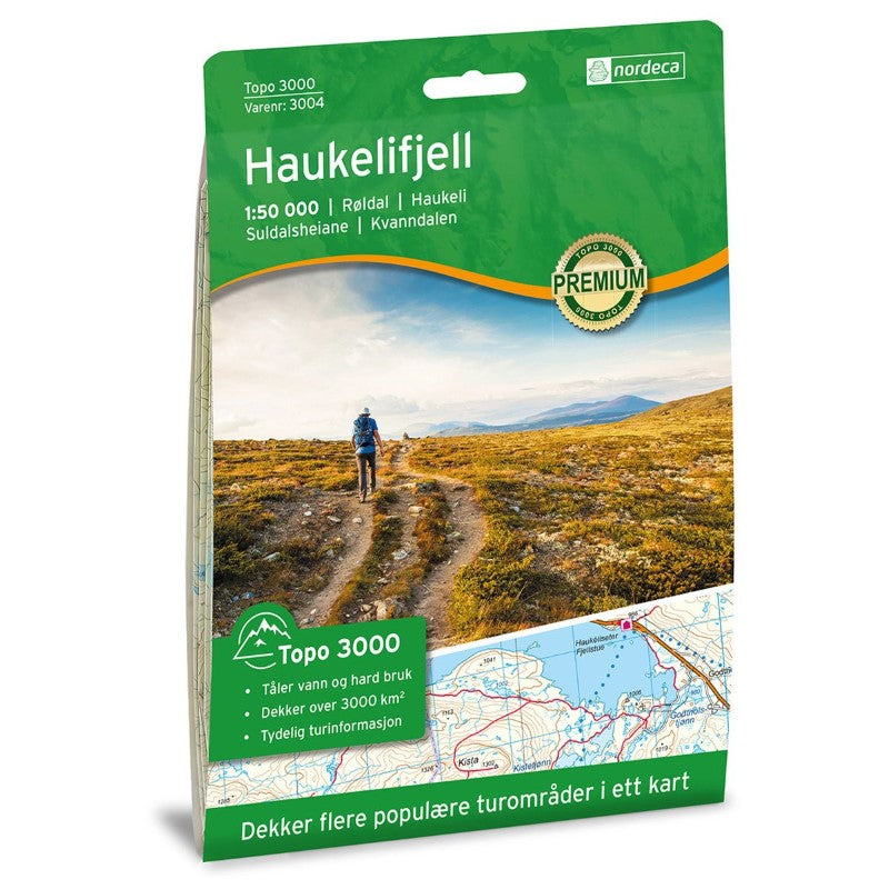
Haukelifjell Topo 3000 Series Hiking Map 1:50,000, #3004
Couldn't load pickup availability
- SKU: NRD_TOPO3K_HAU_21
Topo 3000 is a detailed map covering over 3000 km² (1160 sq. miles), showcasing the Haukeli region, a year-round destination for outdoor activities. Here, you can fish, hike in mountain terrain, visit summer farming areas, cycle, swim, and paddle. It is also a popular skiing area with cross-country trails, downhill slopes, and alpine tours. Haukeliseter Fjellstue is an excellent starting point for day trips or hut-to-hut hikes, heading north towards Hardangervidda or south towards Ryfylkeheiene and Setesdalsheiene. The hiking opportunities from Haukeliseter are great in both summer and winter. Popular peaks in the area include Vassdalseggi, Vesle Nup, and Store Nup. The map highlights hikes such as the summit trip to Verjesteinsnuten (1650 m in summer, 15 km), Kvanndalen - Roalkvam (10.3 km), and Arbuvatn loop (11.3 km). Notable cabins include Kvanndalen (unstaffed), Slosros, and Bleskestadmoen (self-service).
- Type: Folded Map
- Subtype: Physical
- Language: English
- Publication Date: 2021-06-01
- Scale: 1:50,000
- Regions Covered: Europe, Scandinavia
- Countries Covered: Norway
- ISBN: 7046660030042
- MPN: 3004
- Folded Size: 5.75" (W) x 8.25" (H)
- Unfolded Size: 34.3" (W) x 21.2" (H)
- Weight: 1.5 oz