Backroads Mapbooks
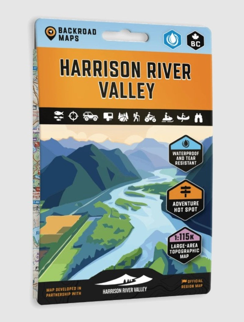
Harrison River Valley BC Official Region Map (Waterproof)
Harrison River Valley BC Official Region Map (Waterproof)
Couldn't load pickup availability
- SKU: BRM_HARRISON_26
Created in partnership with Harrison River Valley Tourism, this waterproof Adventure Map highlights the incredible outdoor recreation, natural attractions and diverse landscapes of the Harrison River Valley. Featuring hiking trails, mountain bike routes, ATV trail networks, fishing hot spots, paddling routes, campgrounds, recreation sites, resorts, hot springs, waterfalls and more, this map is your ultimate guide to exploring one of British Columbia's most unique outdoor destinations.
With detailed 1:115,000-scale topographic mapping and comprehensive recreation information, no other map of the area provides this level of outdoor and travel detail. Covering Harrison Hot Springs, Agassiz, Harrison Mills, Hemlock Valley, Harrison Lake, Alouette Lake, Stave Lake, Abbotsford, Chilliwack, Cultus Lake, Hope and surrounding areas, this map clearly identifies trails, points of interest, campsites, recreation sites, access points and local attractions, making it easy to plan your next adventure.
Defined by dramatic mountain landscapes, fertile river valleys and pristine lakes, the Harrison River Valley offers an incredible diversity of experiences. From the rich agricultural lands surrounding Agassiz to the sub-alpine terrain of Hemlock Valley, visitors can explore a landscape shaped by the meeting of the Harrison and Fraser Rivers. Whether you're soaking in the region's famous mineral hot springs, paddling remote shorelines, fishing productive waters or following the legendary tracks of the Hairy Man, the Harrison River Valley offers a deep connection to British Columbia's wild side.
The reverse side features detailed descriptions of the region's top attractions, hiking trails, mountain biking routes, ATV riding areas, fishing opportunities, paddling routes, campgrounds, resorts, recreation sites, history, travel tips, directions and more.
- Type: Folded Map
- Subtype: Park
- Language: English
- Publication Date: 2026-09-01
- Scale: 1:115,000
- Regions Covered: North America
- Countries Covered: Canada
- States Covered: British Columbia
- ISBN: 9781989175583
- UPC: 622098111750
- Folded Size: 5" (W) x 8.25" (H)
- Unfolded Size: 27.8" (W) x 39.4" (H)
- Weight: .5 lb