Nordic Maps (Nordeca)
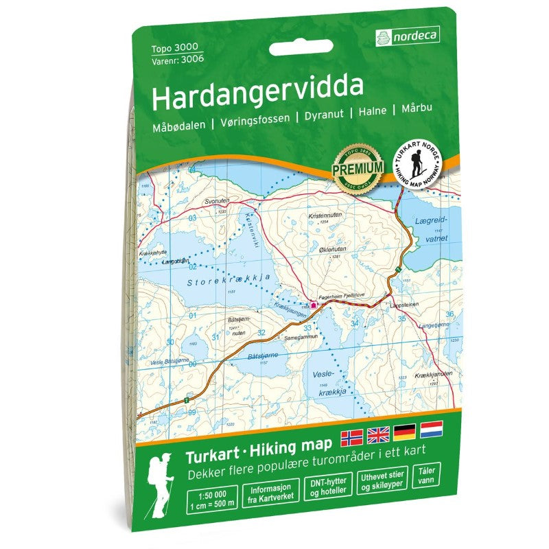
Hardangervidda Topo 3000 Series Hiking Map 1:50,000, #3006
Hardangervidda Topo 3000 Series Hiking Map 1:50,000, #3006
Couldn't load pickup availability
- SKU: NRD_TOPO3K_HARD_20
Topo 3000 is a detailed map covering over 3000 km² (1160 sq. miles), featuring the vast Hardangervidda, the largest mountain plateau in the Nordic region. Known for its flat expanses, Hardangervidda offers excellent fishing opportunities, abundant wildlife, and breathtaking waterfalls. It provides outdoor experiences year-round, with hiking areas suitable for both experienced and novice mountain enthusiasts. South of Ustaoset lies Ustetind, and behind Halne Fjellstugu, you’ll find Halnekollen—both are great and easy family-friendly hikes. Dyranut Fjellstova is an excellent base for exploring Hardangervidda. The map also highlights areas such as Ustaoset, Dyranut, Vøringsfossen, and Eidfjord. Notable cabins include Rauhelleren, Stigstuv, Besso, Krækkjahytta (staffed), and Hadlaskard (self-service).
- Type: Folded Map
- Subtype: Physical
- Language: English
- Publication Date: 2020-06-01
- Scale: 1:50,000
- Regions Covered: Europe, Scandinavia
- Countries Covered: Norway
- ISBN: 7046660030066
- MPN: 3006
- Folded Size: 5.75" (W) x 8.25" (H)
- Unfolded Size: 34.3" (W) x 21.2" (H)
- Weight: 1.5 oz