Rand McNally
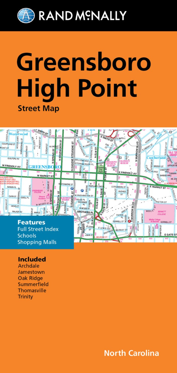
Greensboro and High Point, Folded Street Map
Greensboro and High Point, Folded Street Map
Regular price
$8.99 USD
Regular price
Sale price
$8.99 USD
Unit price
per
Shipping calculated at checkout.
Low stock
Couldn't load pickup availability
- SKU: RM_GREENSBORO_19N
- Rand McNally's folded map featuring the streets of Greensboro, and High Point is a must-have for anyone traveling in and around this part of North Carolina, offering unbeatable accuracy and reliability at a great price. Our trusted cartography shows all Interstate, U.S., state, and county highways, along with many smaller roads and streets, too. You'll see why Rand McNally folded maps have been the trusted standard for years. Regularly updated full-color maps. Clearly labeled Interstate, U.S., state, and county highways. Indications of parks, points of interest, airports, county boundaries, schools, shopping malls, downtown & vicinity maps. Easy-to-use legend. Detailed index & full street index. Convenient folded size. Communities include: Archdale, Jamestown, Oak Ridge, Summerfield, Thomasville, and Trinity
- Type: Folded Map
- Subtype: City Maps
- Language: English
- Publication Date: 2019-06-01
- Scale: 1:26,247
- Regions Covered: North America, Southern U.S.
- Countries Covered: United States
- States Covered: North Carolina
- ISBN: 9780528024962
- UPC: 070609024967
- Folded Size: 4.33" (W) x 9.45" (H)
- Unfolded Size: 40.16" (W) x 27.95" (H)
- Weight: 2 oz