1
/
of
1
Borch GmbH.
Great Britain Road Map
Great Britain Road Map
Regular price
$12.95 USD
Regular price
Sale price
$12.95 USD
Unit price
/
per
Shipping calculated at checkout.
Low stock
Couldn't load pickup availability
- SKU: BOR_GB_14
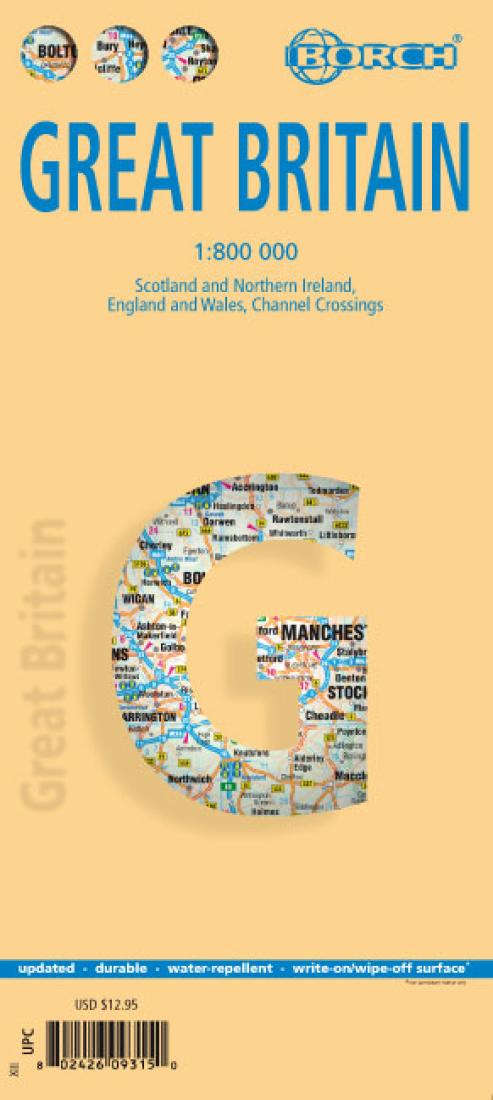
- Great Britain with Northern Ireland on a double-sided, waterproof and tear-resistant map at 1:800,000 from Borch, conveniently presenting on one side coverage from the Channel to Edinburgh and Glasgow, with a separate inset showing the Channel ports region of the Continent extending to Brussels and Antwerp. On the reverse coverage of Scotland starts south of Liverpool, Manchester and Sheffield, providing a convenient overlap. Also included is the whole of Northern Ireland, with coverage extending south to Dublin. Road network prominently highlights motorway connections, shown with junction numbers and services. Driving distances are also marked on main A roads. Main railway lines and ferry connections are included. Symbols indicate various places of interest. Topography is shown by relief shading with names of mountain ranges, valley, etc. The map is indexed and has latitude and longitude margin ticks at 30’ intervals. Map legend includes English.
- Type: Folded Map
- Subtype: Travel
- Language: English, German
- Publication Date: 2014-06-01
- Scale: 1:800,000
- Regions Covered: British Isles, Europe
- Countries Covered: United Kingdom
- States Covered: England, Northern Ireland, Scotland, Wales
- ISBN: 9783866093157
- Folded Size: 4.33" (W) x 9.45" (H)
- Unfolded Size: 38.58" (W) x 27.17" (H)
- Weight: 3.5 oz


