Freytag & Berndt
GPVS I26 Gesamtmap via Slavs, Weitwanderkarte 1:500.000
GPVS I26 Gesamtmap via Slavs, Weitwanderkarte 1:500.000
Regular price
$19.95 USD
Regular price
Sale price
$19.95 USD
Unit price
per
Shipping calculated at checkout.
Low stock
Couldn't load pickup availability
- SKU: FB_GPVS_I26_12
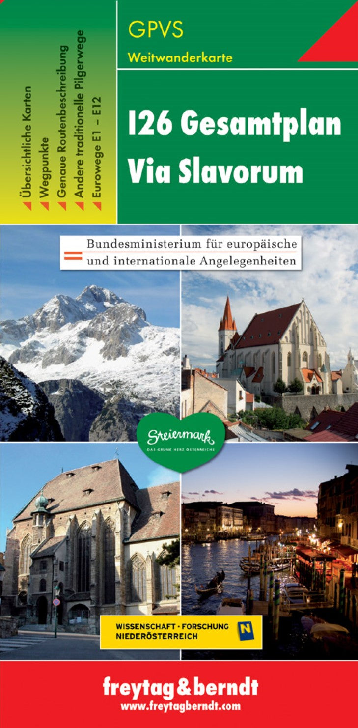
- Via Slavorum (I26 European Pilgrims Route): Kraków – Rome on an overview map from Freytag & Berndt presenting the course of the whole trail on extracts from their mapping at 1:500,000 or 1:1,000,000, plus a German language guide with directions and waymarking. Five panels present the route by country; in Poland, Czech Republic and Slovenia at 1:500,000 plus in Italy at 1:1,000,000 on extracts from F&B road maps; the Austrian section is overprinted on an extract from the publishers’ map showing the country’s networks of long-distance hiking routes. The 3500-km route is made up from sections of several local and national footpaths and the accompanying 44-page booklet, IN GERMAN ONLY, provides very general stage-by-stage descriptions indicating the distances and approximate timings, plus the colouring of the waymarking signs for each section. PLEASE NOTE: the map is intended for planning purposes only and more detailed mapping is advisable when following the path.
- Type: Folded Map
- Subtype: Hiking
- Language: Czech, English, German, Italian, Slovenian
- Publication Date: 2018-07-03
- Scale: 1:500,000
- Regions Covered: Europe, Western Europe
- Countries Covered: Italy
- ISBN: 9783707914092
- MPN: GPVS I26
- Folded Size: 3.93" (W) x 8.06" (H)
- Unfolded Size: 3.93" (W) x 8.06" (H)
- Weight: 3.88 oz