Kompass
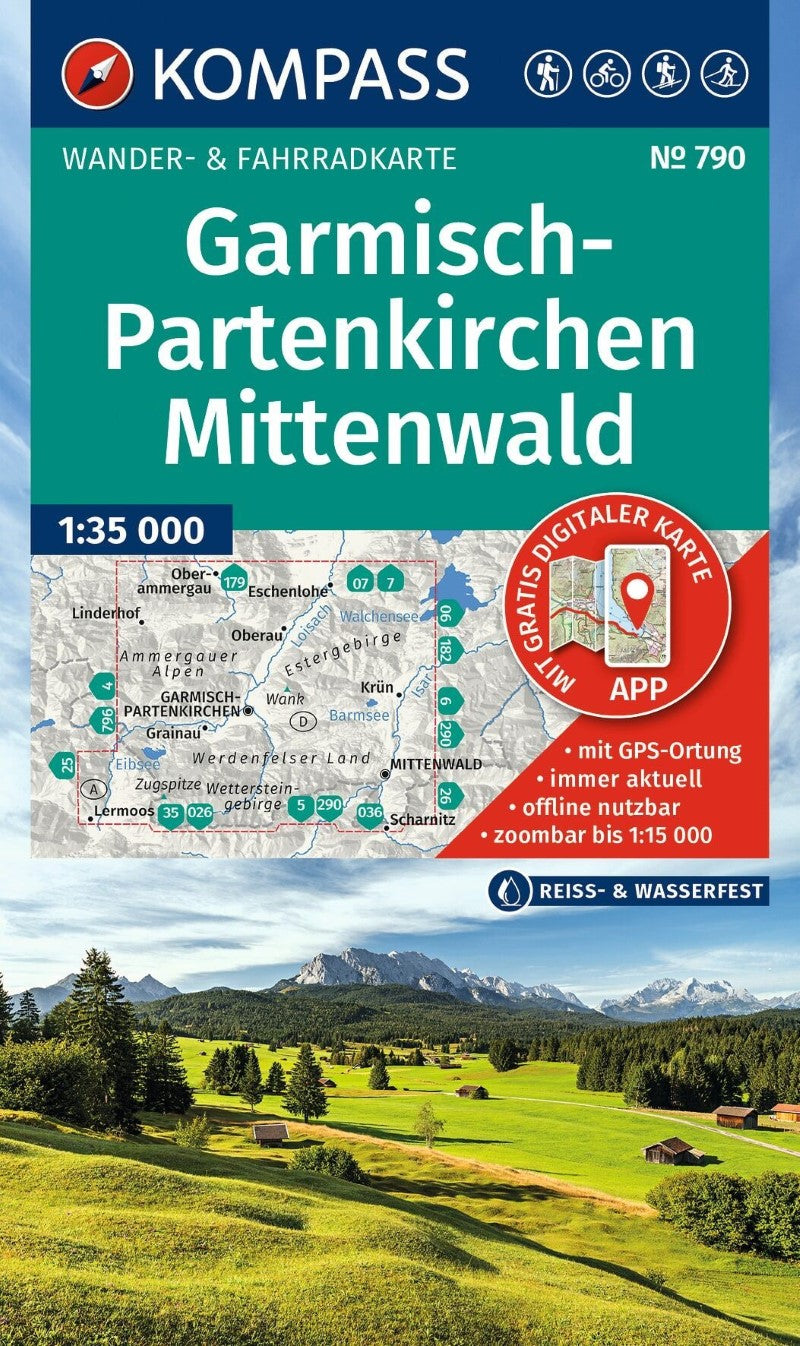
Garmisch-Partenkirchen / Mittenwald + Aktiv Guide Hiking Map #790
Garmisch-Partenkirchen / Mittenwald + Aktiv Guide Hiking Map #790
Couldn't load pickup availability
- SKU: KOM_790_GARM_26
Explore the spectacular Bavarian Alps with the KOMPASS Hiking Map of Garmisch-Partenkirchen and Mittenwald, a detailed outdoor map designed for hiking, cycling, sightseeing, and a wide range of mountain activities. Easy to read yet packed with practical information, it is an ideal companion for planning routes, discovering new destinations, and navigating confidently in the mountains.
The map features precise cartography with official hiking trails, including trail names and route numbers, as well as cycling routes and trails, via ferratas, mountain huts and restaurants, parking areas, public transportation, ski touring routes, cross-country ski trails, springs, swimming areas, and much more.
Contour lines, vegetation, rock formations, and shaded relief create an intuitive picture of the terrain, helping you understand the landscape and elevation as you plan and follow your route.
Key Features
- 1:35,000 scale — 1 cm on the main map represents 350 meters in the landscape
- Official hiking trails with names and route numbers
- Cycling routes and trails
- Via ferratas and mountain routes
- Mountain huts, restaurants, parking areas, and public transportation
- Ski touring routes and cross-country ski trails
- Springs, swimming areas, and other outdoor features
- Detailed contour lines, vegetation, rock formations, and shaded relief
- Tear-resistant and weather-resistant paper for reliable outdoor use
- Map coverage available offline in the KOMPASS Hiking Maps app
Located in the heart of the Bavarian Alps, the region is dominated by the dramatic Wetterstein Mountains and Zugspitze, Germany's highest peak. Traditional alpine towns, spectacular mountain scenery, and an extensive network of hiking trails make Garmisch-Partenkirchen and Mittenwald an outstanding destination for outdoor adventures and unforgettable encounters with the natural landscape.
- Type: Folded Map
- Subtype: Hiking
- Language: English, German
- Publication Date: 2026-06-01
- Scale: 1:35,000
- Regions Covered: Central Europe, Europe
- Countries Covered: Germany
- ISBN: 9783991544593
- Folded Size: 4.5" (W) x 7.25" (H)
- Unfolded Size: 43" (W) x 29" (H)
- Weight: 5 oz