Latitude 40° Maps
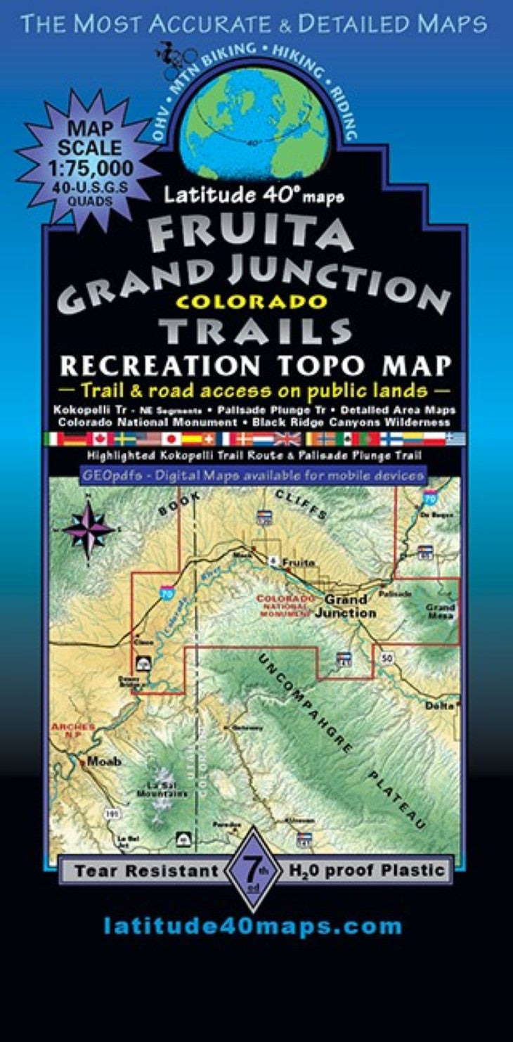
Fruita – Grand Junction Trails Hiking Map
Fruita – Grand Junction Trails Hiking Map
Regular price
$14.95 USD
Regular price
Sale price
$14.95 USD
Unit price
per
Shipping calculated at checkout.
Low stock
Couldn't load pickup availability
- SKU: LAT40_FRUITA_21
- The Grand Valley of the Colorado (Grand) River surrounding Grand Junction, Fruita and beyond, from the west side of Grand Mesa to Dewey Bridge, UT and the Book Cliffs Range to the north. Public access trail and road information is shown for all user groups with mileage between junctions and route difficulty ratings. Regional map/back-side covers 29 miles north to south from Garvey Canyon in the Book Cliffs, south to the southern boundary of Colorado National Monument (NM)/Little Park Rd. East to west for 47 miles from 2 miles east of the town of Palisade, west to just west of Westwater Canyon on the Colorado River. Trailheads, campgrounds, dispersed camping, picnic areas, day use areas and parking/pullouts. As well as mines, remnants of old mills and mining camps, historical townsites and points of interest. Dinosaur fossils, paleo research natural areas and special geologic features. Scenic viewpoints/overlooks, hiking trails, motorized singletrack and paved recreation paths. Includes Black Ridge Canyon Wilderness (2nd highest concentration of arches next to Arches NP), McInnis Canyons National Conservation Area, Rabbit Valley Recreation Area, Book Cliffs/18 Road Mtb. Area, North Fruita Desert Special Rec. Management Area (SRMA), Grand Valley OHV SRMA, Little Book Cliffs Wildhorse Range, State Parks and Colorado NM. The frontside has 3 enlarged inset maps at 1"= 0.6 miles: #1 North Fruita Desert Area/Bookcliffs-18 Road Mtb Area. #2 Kokopelli Loops Area aka Mack Ridge-west of Fruita. #3 Lunch Loops Trail System, just SW of Grand Junction. There are 2 small maps at 1"= 1.2 miles that extend the regional map coverage: #4 Bangs Canyon/Tabeguache Trail and #5 Kokopelli Trail Route extension map completes the route to Dewey Bridge, UT. Combine Fruita-GJ Trails with Moab East Trails or Moab Singletrack to complete the Kokopelli all the way into Moab ~140 total miles. Detailed trail descriptions and elevation profiles cover this section of the route. A small map at 1”= 2 miles illustrates the legendary and extremely challenging, EPIC Palisade Plunge - a 32 mile adventure singletrack climbing ~1900’ and descending over 6,000' from the western side of Grand Mesa to Palisade on the Colorado River. River runners can enjoy the Colorado R. from the confluence with the Gunnison R. (river miles 169-94) to Dewey Bridge, UT - river miles, rapids, put-ins/boat launch sites, take-outs and designated river camps in Ruby/ Horsethief and Westwater Canyons. Gunnison River miles 1-20 with river access points
- Type: Folded Map
- Subtype: Hiking
- Language: English
- Publication Date: 2021-06-01
- Scale: 1:75,000
- Regions Covered: Central U.S., North America
- Countries Covered: United States
- States Covered: Colorado
- ISBN: 9781879866485
- Folded Size: 4" (W) x 8" (H)
- Unfolded Size: 25" (W) x 39" (H)
- Weight: 3 oz