1
/
of
1
TASMAP
Freycinet National Park Map
Freycinet National Park Map
Regular price
$15.99 USD
Regular price
Sale price
$15.99 USD
Unit price
/
per
Shipping calculated at checkout.
Low stock
Couldn't load pickup availability
- SKU: TAS_FREY_25
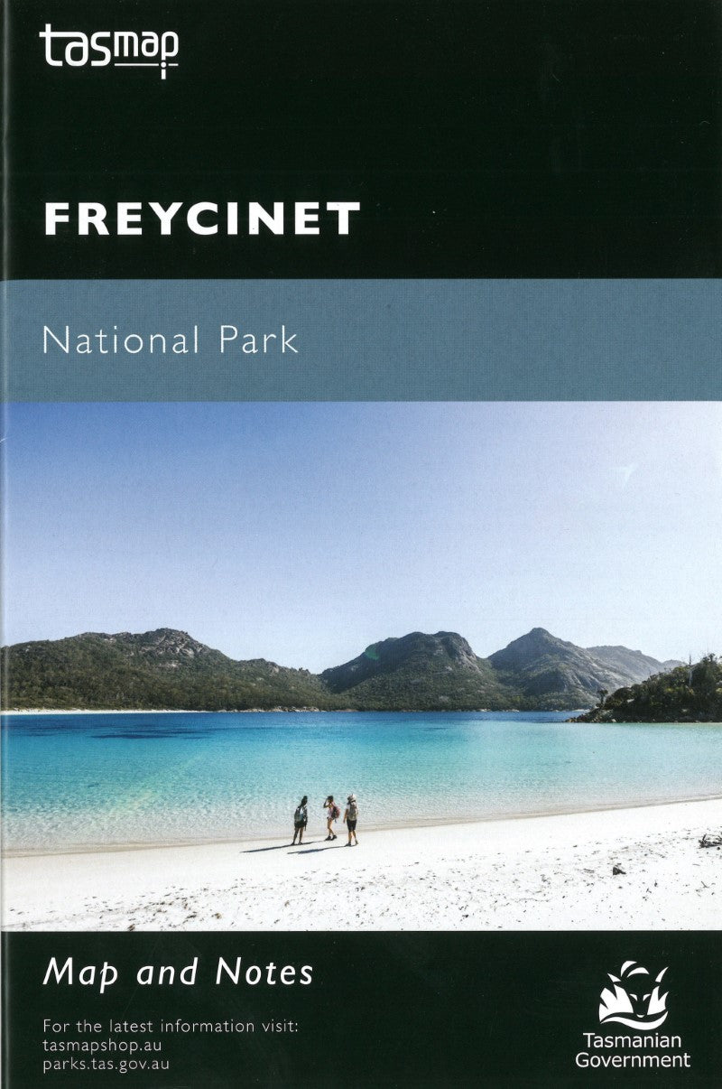
Freycinet National Park's spectacular red granite peaks, pristine sandy beaches, turquoise waters and stunning coastal views combine to make it one of Tasmania's most popular national parks.
This map highlights the walking tracks and features tourist information along with general topographic detail. The notes on the reverse side introduce visitors to the vegetation, land forms, animals, history of the area, bushwalking tips and safety essentials.
Cover photo by Arwen Dyer - Sunset over Freycinet - beautiful evening light at Honeymoon Bay.
- Type: Folded Map
- Subtype: Park
- Language: English
- Publication Date: 2025-06-01
- Scale: 1:50,000
- Regions Covered: Australasia, Oceania, Pacific Ocean
- Countries Covered: Australia
- States Covered: Tasmania
- ISBN: 9318923008371
- MPN: NPFREY
- Folded Size: 5" (W) x 8.5" (H)
- Unfolded Size: 17" (W) x 26" (H)
- Weight: 1 oz


