1
/
of
1
TASMAP
Frenchmans Cap (Franklin-Gordon Wild Rivers National Park) Walk Map and Notes
Frenchmans Cap (Franklin-Gordon Wild Rivers National Park) Walk Map and Notes
Regular price
$9.99 USD
Regular price
Sale price
$9.99 USD
Unit price
/
per
Shipping calculated at checkout.
Low stock
Couldn't load pickup availability
- SKU: TAS_FRENCH_23
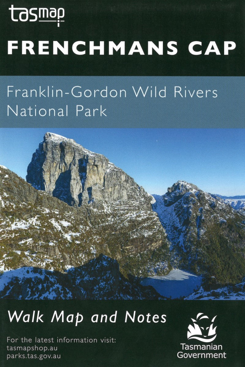
- The magnificent quartzite dome of Frenchmans Cap (1443m) is a mecca for bushwalkers and climbers. The panoramic view from the peak on a clear day includes Mt Ossa, features of the southern end of Cradle Mountain - Lake St Clair National Park and Macquarie Harbour to the west. This map features the topography, trails, and ammenities of the area.
- Type: Folded Map
- Subtype: Tourist
- Language: English
- Publication Date: 2023-06-01
- Scale: 1:50,000
- Regions Covered: Australasia, Oceania, Pacific Ocean
- Countries Covered: Australia
- States Covered: Tasmania
- ISBN: 9318923008296
- MPN: WKFRENCH
- Folded Size: 7.5" (W) x 4.5" (H)
- Unfolded Size: N/A
- Weight: 1 oz


