Hema Maps
Fraser Island Map
Fraser Island Map
Regular price
$14.95 USD
Regular price
Sale price
$14.95 USD
Unit price
per
Shipping calculated at checkout.
Low stock
Couldn't load pickup availability
- SKU: HEMA_FRASER_23
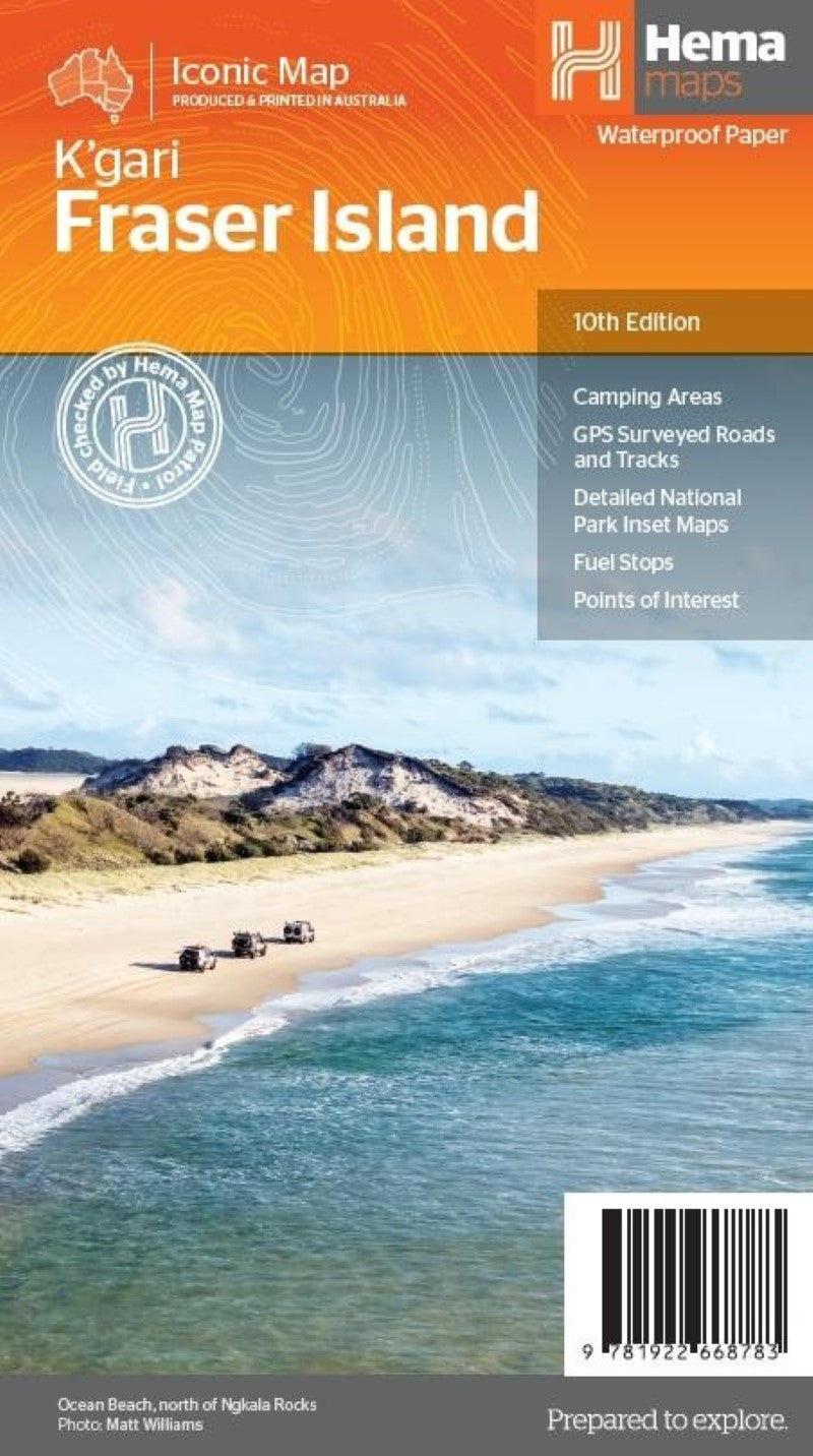
- The map for the island is at a detailed scale of 1:130,000 and extends out to Maryborough. Included with the map are hybrid satellite and map overlay insets of Waddy Point, Orchid Beach, Cathedral Beach, Happy Valley, Kingfisher Bay, Eurong and Second Valley. On the reverse is a wealth of information for enjoying Fraser Island, including touring information on each distinct region, things to do, island access, permit information, accommodation, useful contacts and helpful insights for sand driving as well as information on dingoes. Camping areas, necessary touring information, Fraser Island Great Walk, hybrid overlay map insets, and distance chart. The map contains detailed 4WD tracks, camping areas, GPS surveyed roads and tracks and GPS positions and grid.
- Type: Folded Map
- Subtype: Road
- Language: English
- Publication Date: 2023-04-26
- Scale: 1:130,000
- Regions Covered: Australasia, Oceania, Pacific Ocean
- Countries Covered: Australia
- States Covered: Queensland
- ISBN: 9781922668783
- Folded Size: 5.51" (W) x 9.84" (H)
- Unfolded Size: 39.37" (W) x 27.56" (H)
- Weight: 2.2 oz