1
/
of
1
Frankos Maps Ltd.
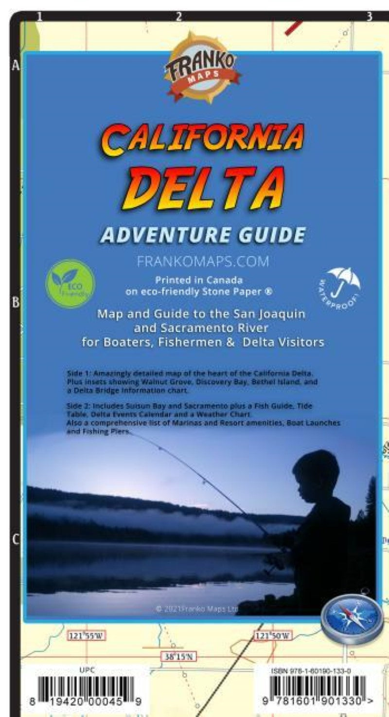
Franko's map of the California Delta
Franko's map of the California Delta
Regular price
$9.99 USD
Regular price
Sale price
$9.99 USD
Unit price
/
per
Shipping calculated at checkout.
Couldn't load pickup availability
- SKU: FM_CA_DELTA_21
- Waterproof, rip-resistant map/guide of the San Joaquin and Sacramento rivers. Ideal for boaters and fishermen. Side 1 shows the area from Sacramento on the north to Tracy on the south, and from Stockton on the east to Pittsburg on the west. Side 2 picks up where side 1 leaves off in that it details Sacramento and it s waterways, plus the extensive waterways of Suisun Bay and beyond. Listed are California Delta events. Delta area marinas, resorts, boat launches and fishing piers. Tide chart corrections.
- Type: Folded Map
- Subtype: Travel
- Language: English
- Publication Date: 2021-06-01
- Scale: 1:130,000
- Regions Covered: North America, Western U.S.
- Countries Covered: United States
- States Covered: California
- ISBN: 9781601901330
- UPC: 819420000459
- Folded Size: 4.72" (W) x 9.06" (H)
- Unfolded Size: 26.38" (W) x 18.5" (H)
- Weight: 1.7 oz


