Litografia Artistica Cartografica
Franciacorta Wine Raised Relief Map
Franciacorta Wine Raised Relief Map
Couldn't load pickup availability
- SKU: LAC_RR_FRANCIACORTA
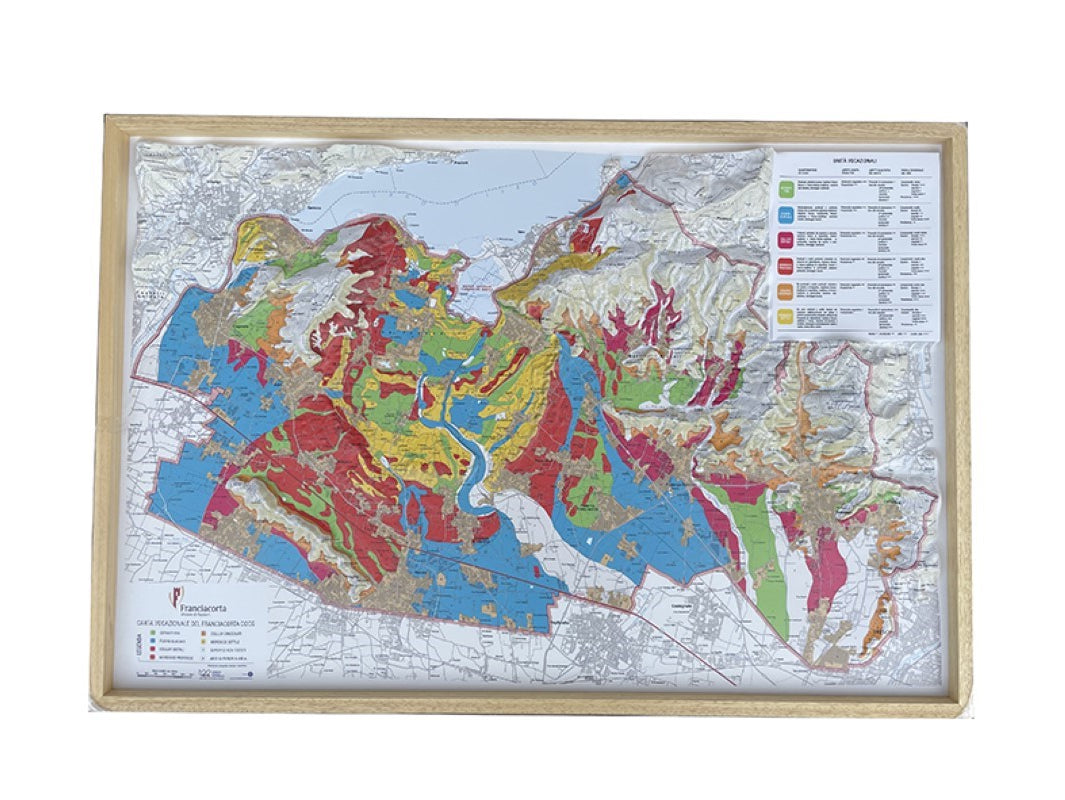
Uncover the land behind one of Italy’s finest sparkling wines with the 3D Relief Map of Franciacorta — a visually striking and educational piece that reveals the ancient geological and viticultural richness of this exceptional territory.
Nestled south of Lake Iseo, between the Oglio River and the city of Brescia, and north of Monte Orfano, lies Franciacorta—a wine region shaped by time and glaciation. This map clearly showcases the distinct morainic amphitheater, formed by massive glaciers descending from Val Camonica during the Second and Tertiary geological eras. These ancient forces gave rise to uniquely sandy and silty soils, low in clay, highly permeable, and ideal for vine cultivation.
While vine growing here dates back to prehistoric times—as evidenced by grape seed and archaeological discoveries—the modern era of Franciacorta winemaking began in the 1960s, when visionary local entrepreneurs founded the first sparkling wine houses. From there, Franciacorta rapidly evolved into one of Italy’s premier sparkling wine regions, known globally for its refined Metodo Classico.
Features:
- 3D topographic detail of Franciacorta’s hills, slopes, and vineyards
- Highlights the morainic formations, vineyard areas, and key winemaking towns
- Showcases the position of wineries and historic settlements
- A perfect fusion of science, history, and elegance
- Ideal for sommeliers, educators, collectors, and wine tourism professionals
Whether you’re an enthusiast of Italian sparkling wines or a student of terroir, the Franciacorta 3D Map offers an unmatched look at the soils, slopes, and settlements that define this celebrated region.
It’s not just a map—it's a journey through ancient geology, modern innovation, and the unmistakable sparkle of Franciacorta.
Note: Frame not included!
- Type: Flat Map
- Subtype: Food and Beverage
- Language: Italian
- Regions Covered: Europe, Western Europe
- Countries Covered: Italy
- Folded Size: N/A
- Unfolded Size: 38" (W) x 26" (H)
- Weight: 1 lb


