1
/
of
1
Institut Geographique National
France, Roads & Motorways
France, Roads & Motorways
Regular price
$10.95 USD
Regular price
Sale price
$10.95 USD
Unit price
/
per
Shipping calculated at checkout.
Low stock
Couldn't load pickup availability
- SKU: IGN_901_12
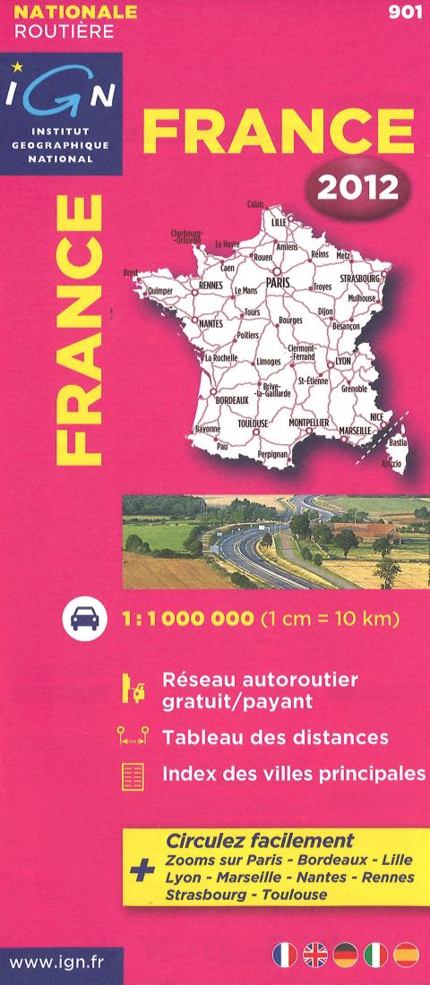
- IGN folded map covering the whole of France including Corsica on one side. Ideal Route planning map. Scale 1:1,000,000 - 1cm = 10km (about 16 miles to the inch) The map shows Toll Roads, has a distance chart and an index to major towns. Enlargements showing in greater detail the environs of Paris, Bordeaux, Lille, Lyon, Marseille, Nantes, Rennes, Strasbourg and Toulouse. Provides the clearest distinction between charge-free and toll motorways. Presentation is designed to highlight the motorway network, shown with junction numbers indicating full or partial interchanges. Roads are graded according to their width and the number of lanes. Driving distances are indicated throughout. there is some topography shown by relief shading, with main peaks and mountain passes. The maps have latitude and longitude margin ticks at intervals of 1°. Map legend and all the text include English.
- Type: Folded Map
- Subtype: Road
- Language: French
- Publication Date: 2012-06-01
- Scale: 1:1,000,000
- Regions Covered: Europe, Western Europe
- Countries Covered: France
- ISBN: 9782758526087
- MPN: 901
- Folded Size: 4" (W) x 10" (H)
- Unfolded Size: 39" (W) x 51" (H)
- Weight: 2.89 oz


