Anavasi Editions
Fokida Eastern Aetolia (1:100 000)
Fokida Eastern Aetolia (1:100 000)
Regular price
$21.99 USD
Regular price
Sale price
$21.99 USD
Unit price
per
Shipping calculated at checkout.
Couldn't load pickup availability
- SKU: ANA_FOKIDA_E_AETOLIA_07
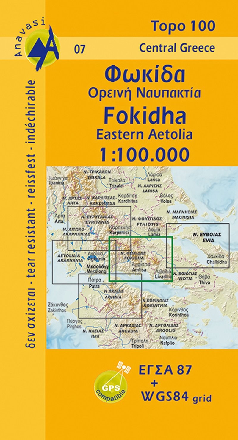
- Detailed topographic road maps at 1:100 000, printed on waterproof and tear-resistant paper for this mountainous area of central Greece, Fokida (or Phocis, Fokidha). It comprises Parnassos, Vardousia, and Giona the wildest mountains of eastern central Greece. Contours at 100m intervals, relief shading and spot heights present the topography, and the maps also show variations in vegetation: forest, shrubbery, orchards, and vineyards. Road network includes minor unsurfaced roads, indicating those in poor condition. Intermediate distances are marked on main and secondary routes. Archaeological or historical sites and other places of interest are highlighted, with symbols marking mountain refuges, caves, thermal spas, etc. Names of town, villages, and most geographical features and places of interest are in both Greek and Latin alphabet. The maps have both GGRS87 grid lines and ticks plus crosshairs for latitude and longitude lines at 5’ intervals. Map legend includes English. The double index on the reverse of the maps is in both scripts.
- Type: Folded Map
- Subtype: Road
- Language: English, Greek
- Publication Date: 2007-01-01
- Scale: 1:100,000
- Regions Covered: Balkans, Europe, Mediterranean Sea
- Countries Covered: Greece
- ISBN: 9789608195714
- MPN: 7
- Folded Size: N/A
- Unfolded Size: N/A