Bureau of Land Management
Fish Springs, Utah Surface Management Map
Fish Springs, Utah Surface Management Map
Couldn't load pickup availability
- SKU: BLM_FISH_11
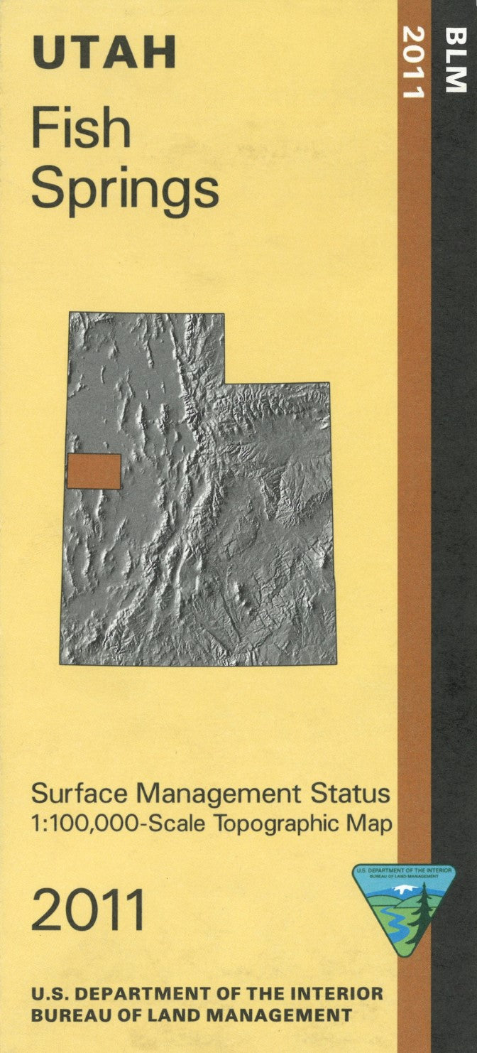
Discover the rugged beauty of Fish Springs, Utah, with the Bureau of Land Management’s Surface Management Topographic Map. This meticulously detailed map is a must-have resource for outdoor adventurers, land managers, and anyone exploring this remote and captivating area. It provides an in-depth look at the topography, land ownership boundaries, and surface management designations of Fish Springs, making it an essential guide for navigating its diverse terrain.
The map features accurate elevation contours, roads, trails, water features, and key landmarks, allowing for easy navigation through this rugged desert landscape. It also clearly marks federal, state, and private land ownership, offering valuable insight into land access, usage restrictions, and regulations for public and private land in the area.
This topographic map is designed to withstand harsh outdoor conditions, ensuring it remains reliable for your exploration or land management activities. With its clear, easy-to-read layout and precise details, the Fish Springs map is an indispensable tool for anyone looking to explore or manage the unique wilderness of Utah.
- Type: Folded Map
- Subtype: Land Use / Land Cover
- Publication Date: 2011-01-01
- Scale: 1:100,000
- Regions Covered: Central U.S., North America
- Countries Covered: United States
- States Covered: Utah
- ISBN: 9781411331419
- MPN: 101900
- Folded Size: 4" (W) x 9" (H)
- Unfolded Size: 44" (W) x 27" (H)
- Weight: 2.4 oz


