GiziMap
Ethiopia : Eritrea, Djibouti, Somaliland : 1:2,000,000 : Addis Ababa 1:25,000 : Simien national park 1:275,000 : geographical map
Ethiopia : Eritrea, Djibouti, Somaliland : 1:2,000,000 : Addis Ababa 1:25,000 : Simien national park 1:275,000 : geographical map
Regular price
$16.95 USD
Regular price
Sale price
$16.95 USD
Unit price
per
Shipping calculated at checkout.
Low stock
Couldn't load pickup availability
- SKU: GIZ_ETH_19
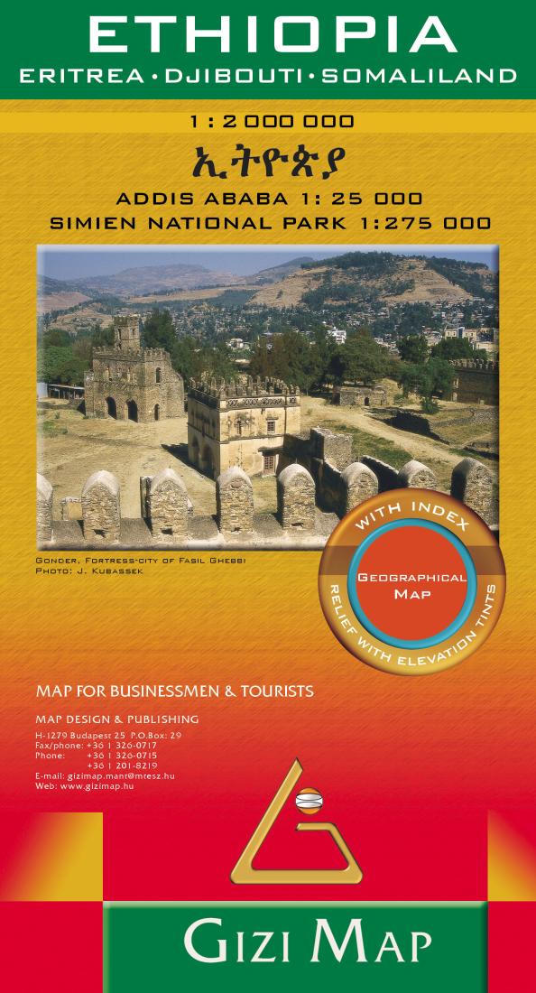
- Ethiopia at 1:2,000,000 from Gizi Map with a street plan of central Adis Abeba, plus enlargements of the capital’s environs and the Simen National Park. Excellent presentation of the terrain in the publisher’s characteristic bold altitude colouring with plenty of spot heights and names of peaks, mountain ranges, etc, plus additional graphics for flood plains, swamps, salt flats, deserts, lava fields, wadis and water wells provide a vivid picture of Ethiopia’s geography. National parks or other protected areas and interesting natural sites are highlighted. Coverage includes Eritrea and Djibouti, extending over the Red Sea to Sana’a and Aden. In the north-west the map extends to Khartoum to cover the whole course of the Blue Nile. Also included is a large part of Somalia, with its regions annotated according to their current (2011) political situation. Where appropriate, disputed boundaries (e.g. the Ilemi Triangle) are indicated. Place names of towns and of the country’s administrative provinces are shown in both Latin and Ethiopian Ge’ez alphabets. Road network includes selected country tracks, shows locations of border crossings and gives distances on main routes. Railway lines are included and internal airports are marked. Symbols indicate locations with tourist accommodation, campsites, UNESCO World Heritage sites and other places of interest, etc. The map has latitude and longitude lines at intervals of 1°. The index is on the reverse. Map legend includes English and Ethiopian. Also provided is a large, clear street plan of central Adis Abeba/Addis Ababa highlighting hotels and places of interest, plus an enlargement of the capital’s environs. An enlargement of the Simen/Simien Mountains National Park (1:275,000) shows trekking routes, lodges and campsites.
- Type: Folded Map
- Subtype: Physical
- Language: English, French, German, Italian
- Publication Date: 2019-06-01
- Scale: 1:2,000,000
- Regions Covered: Africa, East Africa
- Countries Covered: Djibouti, Eritrea, Ethiopia, Somalia
- ISBN: 9786155010026
- Folded Size: 5.12" (W) x 9.45" (H)
- Unfolded Size: 34.65" (W) x 38.19" (H)
- Weight: 3.8 oz