Geographers A-Z Map Co., Ltd.
Edinburgh A-Z Street Atlas
Edinburgh A-Z Street Atlas
Regular price
$12.95 USD
Regular price
Sale price
$12.95 USD
Unit price
per
Shipping calculated at checkout.
Low stock
Couldn't load pickup availability
- SKU: AZM_EDINBURGH_AT_18
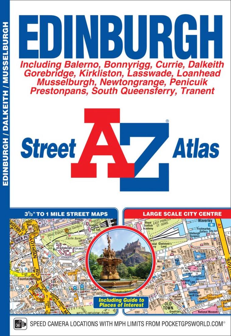
- This A-Z map of Edinburgh is a full colour street atlas which also includes a places of interest guide. This publication features 45 pages of continuous street mapping which extends to include:•South Queensferry•Leith•Prestonpans•Tranent•Musselburgh•Dalkeith•Bonnyrigg•Loanhead•Gorebridge•Penicuik•Balerno•Edinburgh AirportIn addition, there is a large scale city centre map of Edinburgh.Postcode districts, one-way streets, park and ride sites and safety camera locations with their maximum speed are also featured on the mapping.The Places of Interest Guide is both informative and helpful, highlighting the city's major tourist attractions and the world famous Edinburgh Festival. A diagrammatic map of the Rail Connections and Trams for Edinburgh (under construction) is also featured.The index section lists streets, selected flats, walkways and places of interest, junction, place, area and station names, New Edinburgh Tramway stops (under construction), hospitals and hospices covered by this atlas.This atlas is ideal not only for navigating around Edinburgh, but for exploring this historic city.
- Type: Paperback Guide
- Subtype: City Guides
- Language: English
- Publication Date: 2018-08-01
- Scale: Scales differ
- Regions Covered: British Isles, Europe
- Countries Covered: United Kingdom
- States Covered: Scotland
- ISBN: 9781843489146
- Folded Size: N/A
- Unfolded Size: N/A
- Weight: 0 oz