1
/
of
1
Sportsman's Connection
Eastern Tennessee Fishing Map Guide
Eastern Tennessee Fishing Map Guide
Regular price
$24.95 USD
Regular price
Sale price
$24.95 USD
Unit price
/
per
Shipping calculated at checkout.
Couldn't load pickup availability
- SKU: SPCO_TN_EAST_16
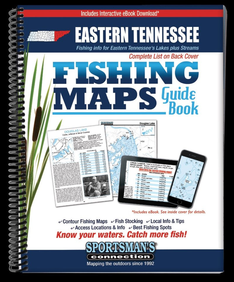
- The Eastern Tennessee Fishing Map Guide is a thorough, easy-to-use collection of detailed contour lake maps, fish stocking data, and the best fishing spots and tips from area experts. The book features fishing maps, detailed area road maps and exhaustive fishing information for Eastern Tennessee’s truly unique fishing waters, including several TVA reservoirs nestled in the mountains and some of the state's best trout streams. It’s all wrapped up in this handy, 240-page, 8 ½ x 11” spiral-bound volume. Features editorial by Jeff Samsel, Larry Self and Vernon Summerlin. Whether you’re after stripers on Cherokee Lake, smallies on Watauga Lake or trout on the South Holston River, you'll find all the information you need to help you enjoy a successful day out on the water on one of Tennessee’s many excellent fisheries. Know your waters. Catch more fish with the Eastern Tennessee Fishing Map Guide.
- Type: Spiral Bound Guide
- Subtype: Fishing
- Language: English
- Publication Date: 2016-06-01
- Scale: Scales differ
- Regions Covered: North America, Southern U.S.
- Countries Covered: United States
- States Covered: Tennessee
- ISBN: 9781885010681
- MPN: 8101
- Folded Size: N/A
- Unfolded Size: 8.5" (W) x 11" (H)
- Weight: 24.4 oz


