1
/
of
1
Backroads Mapbooks
Eastern Ontario Fishing MapBook
Eastern Ontario Fishing MapBook
Regular price
$27.95 USD
Regular price
Sale price
$27.95 USD
Unit price
/
per
Shipping calculated at checkout.
Couldn't load pickup availability
- SKU: BRM_FISH_ON_E_AT_14
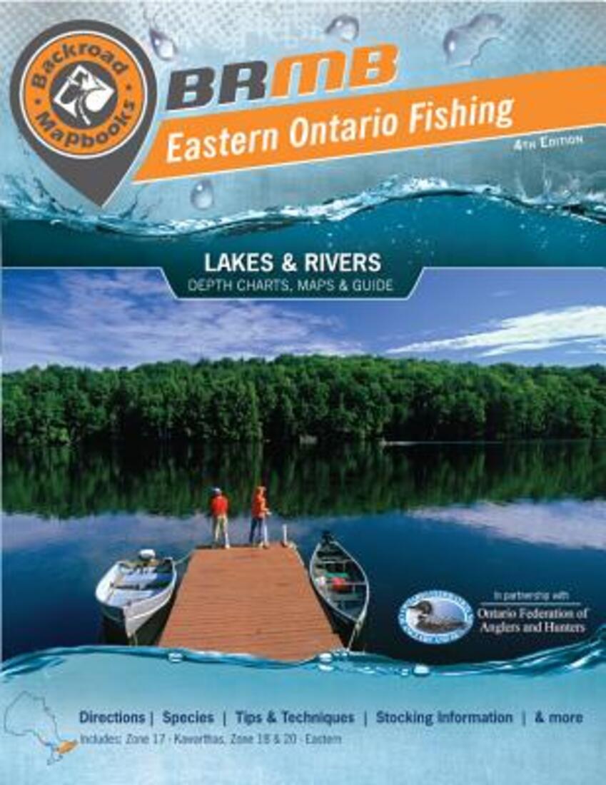
- The landscapes of eastern Ontario are such a trove of fishing lakes and rivers that we had to create a whole fishing map book to even begin to do justice to this part of Ontario. Covering fishing zones 17, 18 and 20 (Kawarthas and eastern Ontario), this fishing map book spans the region from Peterborough to Ottawa, detailing the fishing gems abundant throughout eastern Ontario’s lands. With hundreds of beautiful lakes and a combination of warm and cold water fish species, eastern Ontario provides an array of options for the eager angler. From popular haunts like the Trent-Severn Waterway to Ontario backcountry lakes untouched by man, Backroad Mapbooks’ eastern Ontario fishing map book has it all. The eastern Ontario fishing map book is your one-stop guide for fishing the waters of Ontario. With detailed information on the region’s fish species, like world-famous smallmouth and largemouth bass, brook and lake trout, walleye, northern pike, and more, your fishing map book tells you everything you need to know to get fishing in eastern Ontario. Each fishing lake and river is handpicked to give you a blend of hotspots and hidden treasures, with detailed directions and access points, bathymetric (depth) lake charts, and river maps to inform even the most seasoned Ontario angler. With the handy reference of your eastern Ontario fishing map book in tow, you’re all set to cast your line and reel in the prize.
- Type: Spiral Bound Atlas
- Subtype: Fishing
- Language: English
- Publication Date: 2014-01-01
- Scale: Scales differ
- Regions Covered: North America
- Countries Covered: Canada
- States Covered: Ontario
- ISBN: 9781897225783
- UPC: 622098001938
- Folded Size: N/A
- Unfolded Size: 8.5" (W) x 11" (H)


