GM Johnson
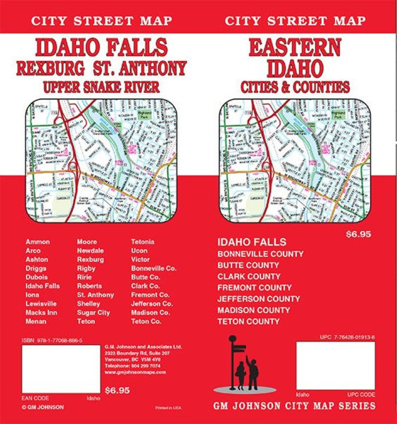
Eastern Idaho : cities & counties : city street map
Eastern Idaho : cities & counties : city street map
Regular price
$6.95 USD
Regular price
Sale price
$6.95 USD
Unit price
per
Shipping calculated at checkout.
Couldn't load pickup availability
- SKU: GMJ_IDAHO_FAL_19
- Folded street map of Idaho Falls, Rexburg, and surrounding eastern counties in Idaho. One side covers Eastern Idaho from Challis National Forest to Victor with inset of Fremont, and street index. Reverse covers Idaho Falls with insets of Victor, Arco, Shelley, Newdale, Driggs, Ririe, Sugar City, Rexburg, St. Anthony, Ashton, Moore, Tetonia, Lewisville to Roberts, Rigby, Flat Rock, Teton, and Dubois.
- Type: Folded Map
- Subtype: County Maps
- Language: English
- Publication Date: 2019-06-01
- Scale: 1:32,000
- Regions Covered: North America, North-central U.S./Great Plains
- Countries Covered: United States
- States Covered: Idaho
- ISBN: 9781770688865
- Folded Size: 4.33" (W) x 9.06" (H)
- Unfolded Size: 26.97" (W) x 39.17" (H)
- Weight: 2.1 oz