Latitude 40° Maps
Durango Trails Hiking Map
Durango Trails Hiking Map
Regular price
$14.95 USD
Regular price
Sale price
$14.95 USD
Unit price
per
Shipping calculated at checkout.
Low stock
Couldn't load pickup availability
- SKU: LAT40_DURA_21
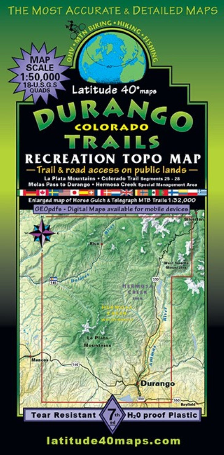
- The town of Durango and vicinity is well known for its trails and public lands with over 3000 acres of open space and BLM land and 100+ miles of trails surrounding town. Public access trails and roads are highlighted for all user groups with mileage between junctions and difficulty ratings. Two-sided map covers 39 miles north to south from Molas Pass (US Hwy. 550), south to Nighthorse Lake south of Durango. East to west for 27 miles from Molas Pass, west to 8 miles east of the town of Mancos. Hermosa Creek Wilderness and Special Rec. Area (Hermosa Cr. Tr.) with additional trails on Purgatory Mtn. Resort. The La Plata, Rico and West Needle Mountain Ranges. Experience the premier section (for both hiking and mtb.) of Colorado trail from Molas Pass (segment 25) to the southern terminus at Junction Cr TH/Durango (segment 28). Enlarged inset map (1”= 0.5 mi.) of trails on the East-SE side of town: Horse Gulch, Telegraph, Grandview Ridge and Three Springs Trail Systems. Additional trail systems close to Durango: Animas City Mtn., Dalla Mtn. Park, Falls Cr. aka Church Camp, Log Chutes, Overend Mtn. Park, Twin Buttes Trails and OS and paved/natural surface trails throughout town. Trailheads, campgrounds, dispersed camping, picnic areas, day use areas, parking/pullouts, hot springs, locations of mines, adits or caves, remnants of old mills and mining camps, ghost towns, historical townsites. In addition, points of interest, special geologic areas and scenic viewpoints/overlooks. Animas River sports options: tubing, kayaking, rafting and Gold Medal fishing opportunities. Reference our regional map-Southwest Colorado Trails to connect and follow all routes that extend beyond this maps boundaries. Durango Trails and TellurideSilverton-Ouray Trails overlap at the same scale
- Type: Folded Map
- Subtype: Hiking
- Language: English
- Publication Date: 2021-06-01
- Scale: 1:50,000
- Regions Covered: Central U.S., North America
- Countries Covered: United States
- States Covered: Colorado
- ISBN: 9781879866461
- Folded Size: 4" (W) x 8" (H)
- Unfolded Size: 25" (W) x 39" (H)
- Weight: 3 oz