Ordnance Survey (Ireland)
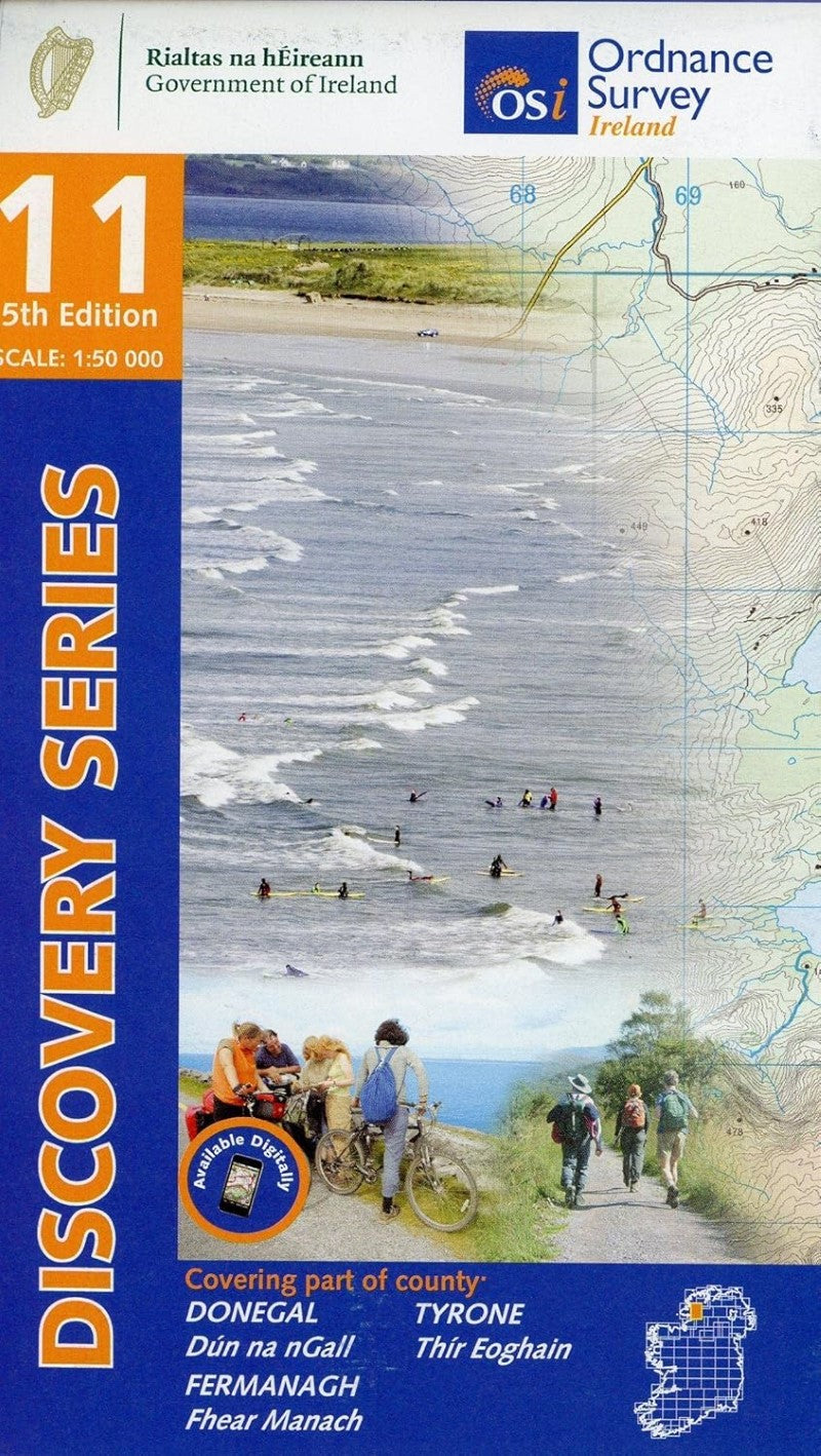
Donegal (South), Ireland Discovery Series #11
Donegal (South), Ireland Discovery Series #11
Regular price
$21.95 USD
Regular price
Sale price
$21.95 USD
Unit price
per
Shipping calculated at checkout.
Low stock
Couldn't load pickup availability
- SKU: IRE50_11_DONE_22
Explore County Donegal, with its rugged coastline, cliffs, historic houses, islands and hidden waterfalls. This OSI Discovery map shows part of County Donegal and Donegal Town as well as parts of County Tyrone and County Fermanagh at a 1:50,000 scale, ideal for exploring this beautiful part of Ireland on foot or by bike.
OSI Discovery maps highlight:
- Walking trails
- Cycle routes
- Forest parks
- Nature reservesOSI Discovery maps also display:
- Tourist information offices
- Campsites, caravan parks and youth hostels
- Picnic places and viewpoints
- Standing stones, battlefields and golf courses- Type: Folded Map
- Subtype: General Topographic
- Language: English
- Publication Date: 2022-02-08
- Scale: 1:50,000
- ISBN: 9781912140497
- MPN: 11
- Folded Size: 5" (W) x 10" (H)
- Unfolded Size: N/A
- Weight: .5 lb