Ordnance Survey (Ireland)
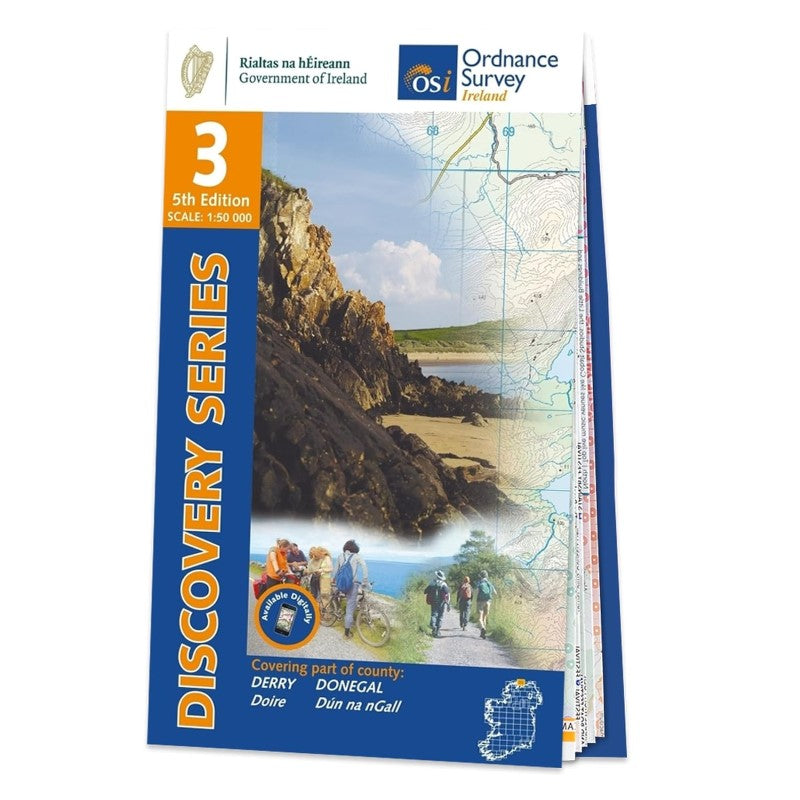
Donegal (Northeast), Ireland Discovery Series #3
Donegal (Northeast), Ireland Discovery Series #3
Couldn't load pickup availability
- SKU: IRE50_3_DONE_24
Discovery maps are produced at a scale of 1:50,000 (or 2cm on paper equals 1 kilometre on the ground). Each Discovery Sheet covers an area of 40km x 30km surface area (with the exception of several portrait-format sheets, which are 42km x 32km). There are 93 sheets in the series; 75 are produced by Ordnance Survey Ireland, and 18 by Ordnance Survey Northern Ireland. The maps produced by Ordnance Survey Northern Ireland are called the Discoverer Series.
This is a comprehensive series of feature-rich maps which show detailed landscape information, like rivers, lakes, contours and many townland names. The Discovery Series is designed primarily for tourist and leisure activities; these maps are the preferred choice for hill walkers and those in pursuit of the great outdoors. It is also an ideal reference for location-focussed business use, in pocket-friendly folded form or as a wall-mounted reference.
- Type: Folded Map
- Subtype: General Topographic
- Language: English
- Publication Date: 2024-06-01
- Scale: 1:50,000
- Regions Covered: British Isles, Europe
- Countries Covered: Ireland
- ISBN: 9781912140008
- MPN: OSI.D03
- Folded Size: 4.5" (W) x 7.5" (H)
- Unfolded Size: N/A