Ordnance Survey (Ireland)
Donegal (Northcentral), Ireland Discovery Series #2
Donegal (Northcentral), Ireland Discovery Series #2
Regular price
$19.95 USD
Regular price
Sale price
$19.95 USD
Unit price
per
Shipping calculated at checkout.
Low stock
Couldn't load pickup availability
- SKU: IRE50_2_DONE_
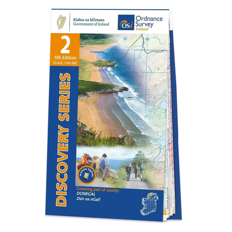
OSI Discovery Sheet No. 02 covers part of County Donegal at a 1:50 000 scale and is designed for all sorts of leisure activities including walking, cycling and tourism.
Features shown on the Discovery series include: Walking Trails
Cycle Routes
Forest Parks
Nature Reserves
There are also tourist information such as campsites/caravan parks, youth hostels, tourist information offices, picnic places, standing stones, battlefields, golf courses and viewpoints.
Available as a paper, folded map. Please see back cover image for the area covered.
- Type: Folded Map
- Subtype: General Topographic
- Language: English
- Publication Date: 2023-06-01
- Scale: 1:50,000
- ISBN: 9781912140145
- MPN: 2
- Folded Size: N/A
- Unfolded Size: N/A